

Loading…
Experiences / Eco & Nature / Azad Jammu and Kashmir
Travel by interest
Nature-based travel for guests who want clean air, slower routes, better local context, and a lighter footprint.
← Back to the Azad Jammu and Kashmir guide·View Eco & Nature across all of Pakistan
Azad Jammu and Kashmir
Forests, valleys, lakes, and low-impact discovery
Sight
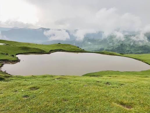
A high-value water landscape in Haveli / Poonch highlands, best experienced for scenery, photography and its wider mountain setting.
Sight
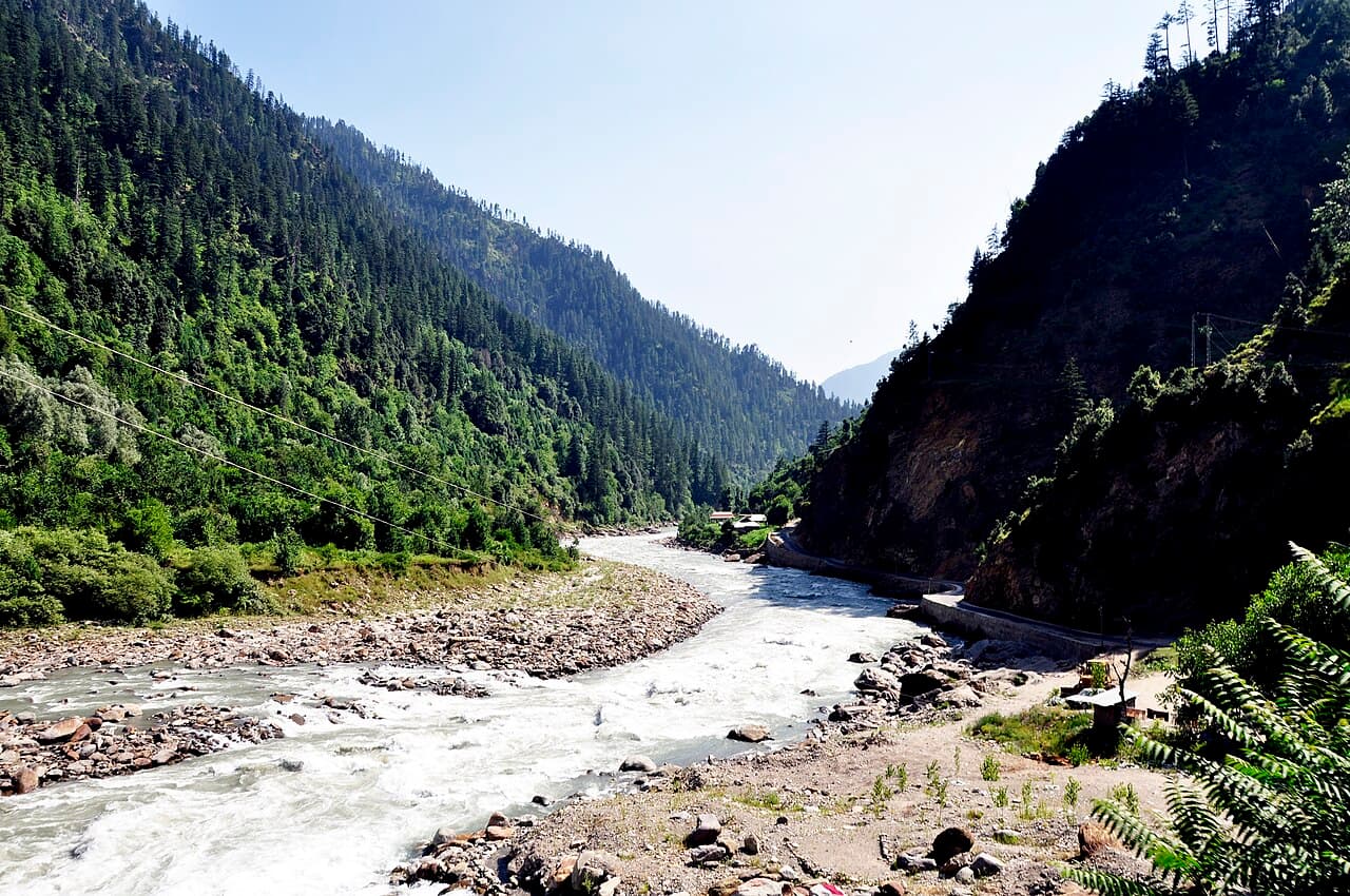
Pine forests and the Neelum River beneath high Himalayan walls in Azad Jammu and Kashmir.
Sight
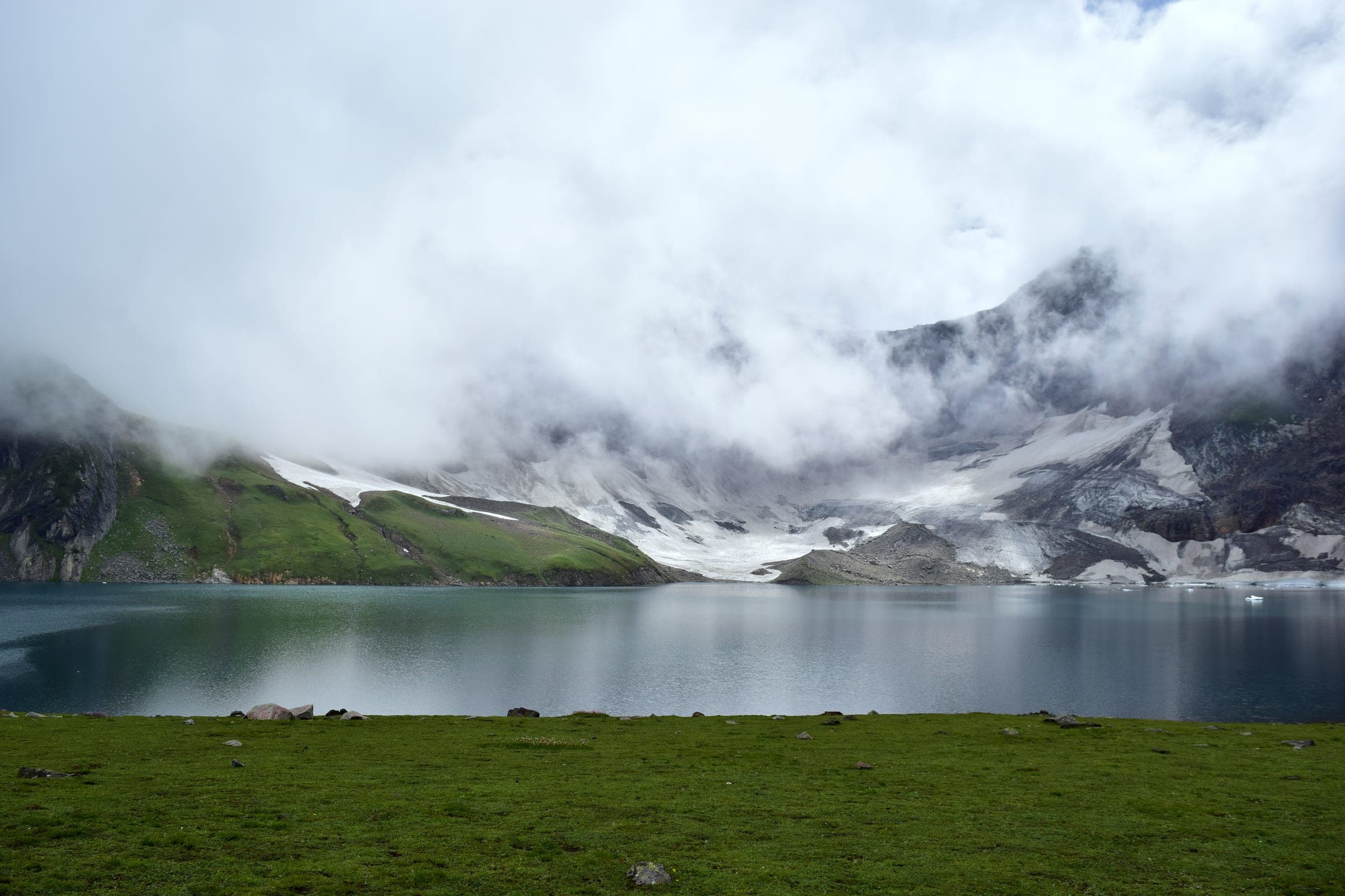
High alpine lake above Dowarian in the Neelum Valley, fed by glacial meltwater and ringed by wildflower meadows in summer.
Sight
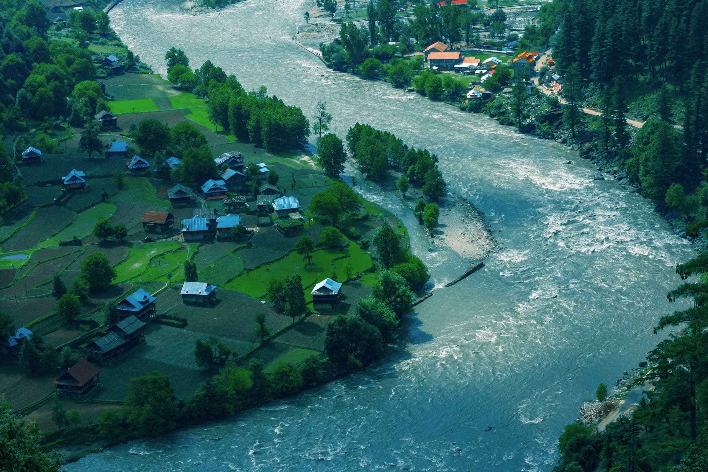
Riverside villages along the Neelum, where the valley narrows to a green corridor facing the far bank across the water.
Sight
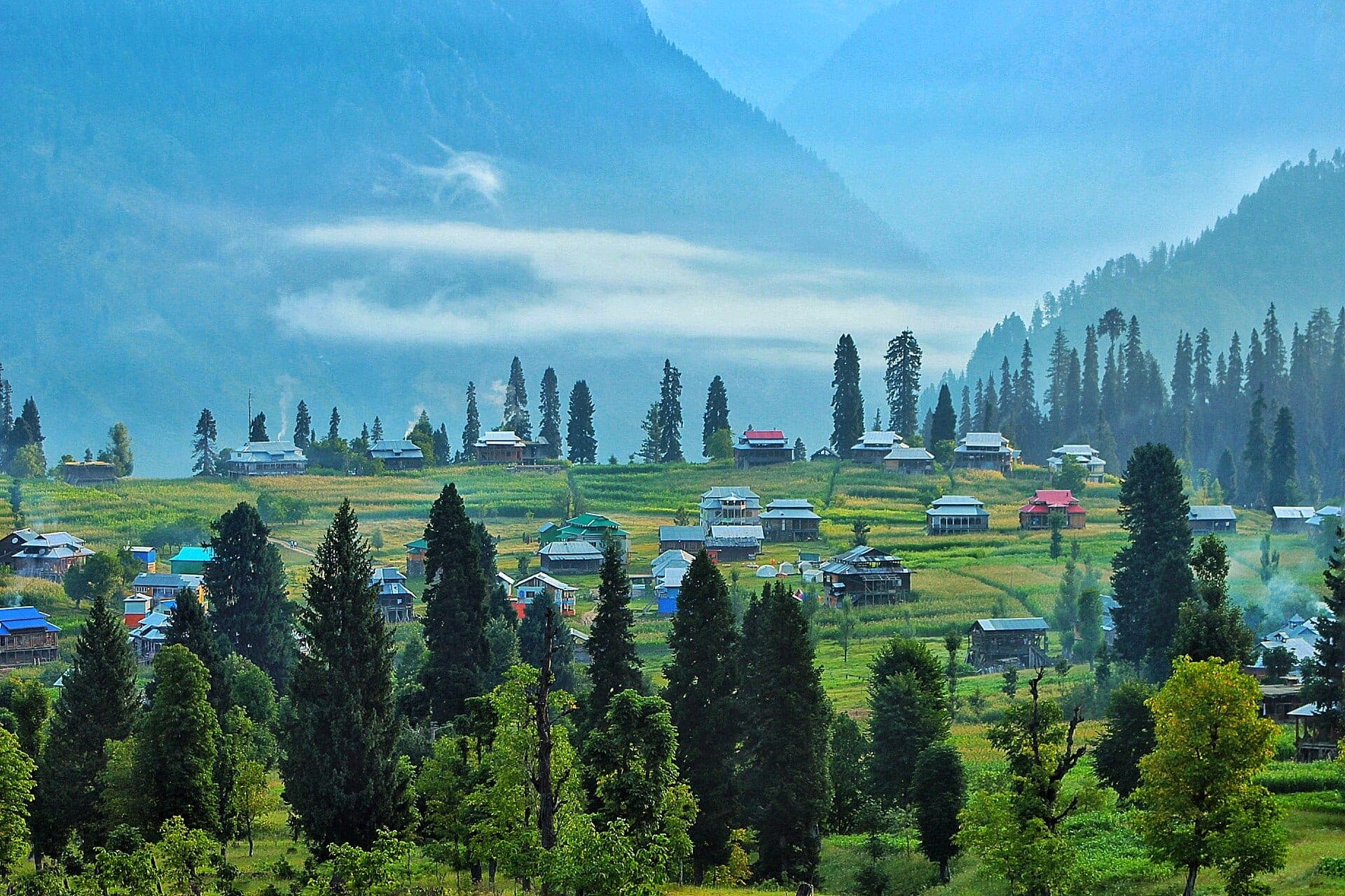
A storybook meadow village perched above Kel in the upper Neelum Valley, reached by chairlift and a steep walk, with sweeping mountain views.
Sight
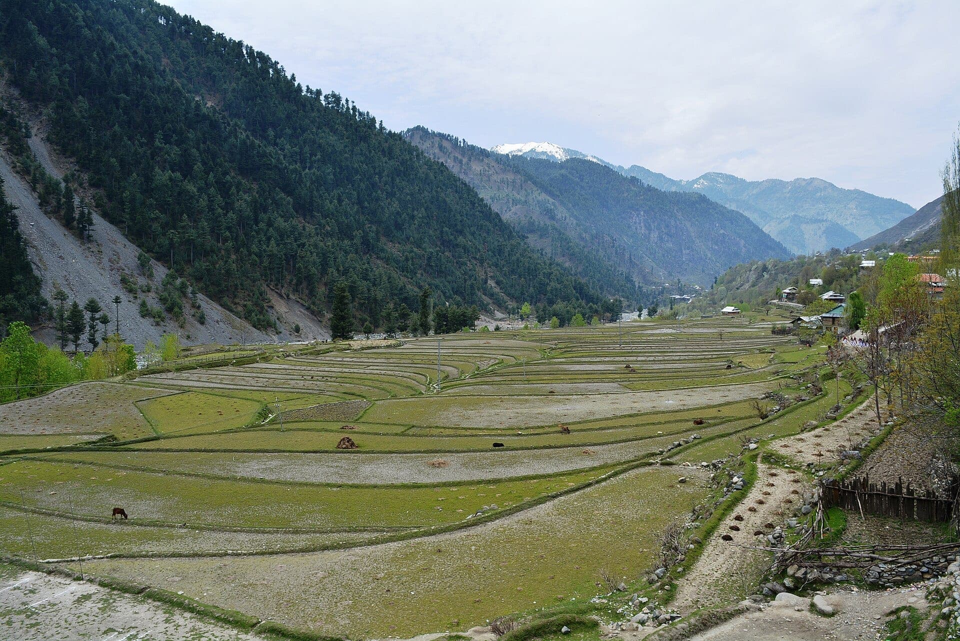
Terraced rice fields, wooden Kashmiri houses, and pine ridges in one of Azad Jammu and Kashmir's most picturesque valleys, open in the warmer months only.
Sight
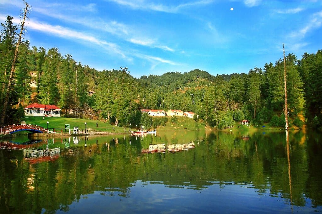
A serene artificial lake ringed by pine forest near Rawalakot, a calm, easily reached escape in the Poonch hills.
Sight
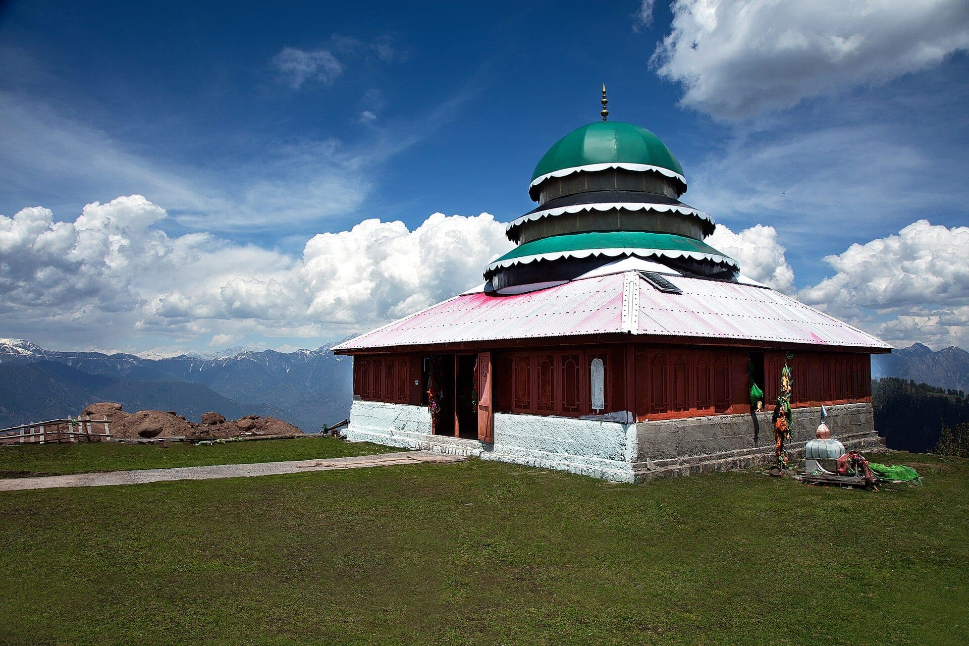
A hilltop shrine and viewpoint at around 2,900 m above Muzaffarabad, with sweeping panoramas over the Jhelum and Neelum valleys.
Sight
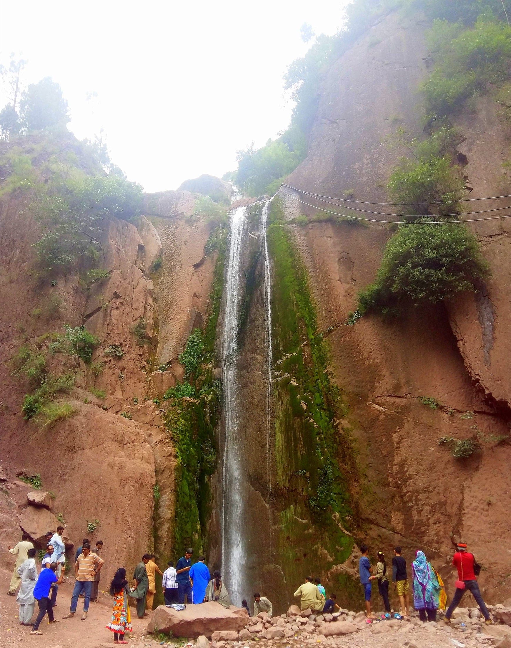
A tall waterfall dropping straight onto the Neelum road about 40 km from Muzaffarabad, one of the valley's most-photographed roadside stops.
Sight
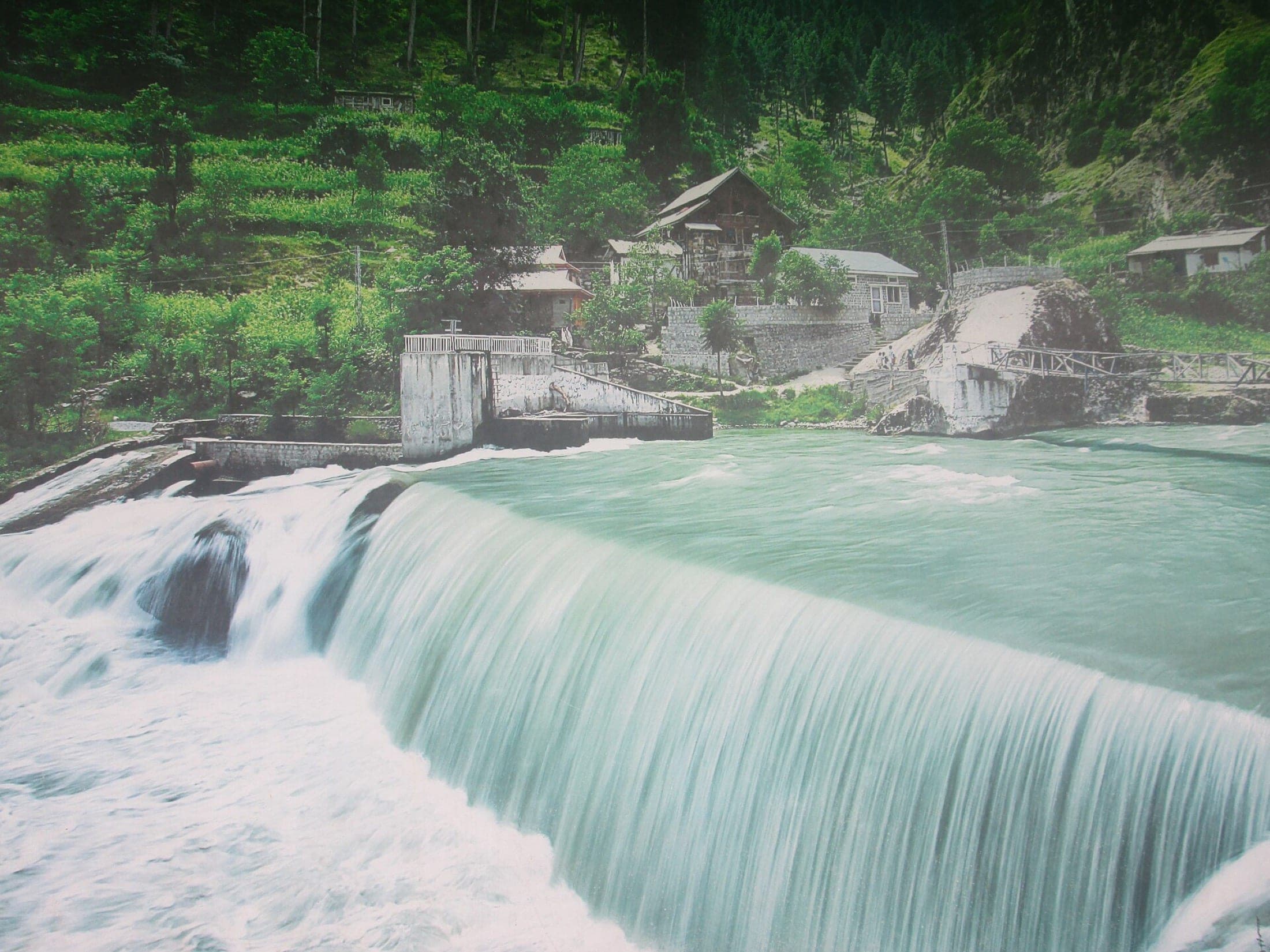
A wide weir on the Jagran River near Kundal Shahi, a popular photo stop where the pine-forested Jagran Valley meets the Neelum road.
Sight
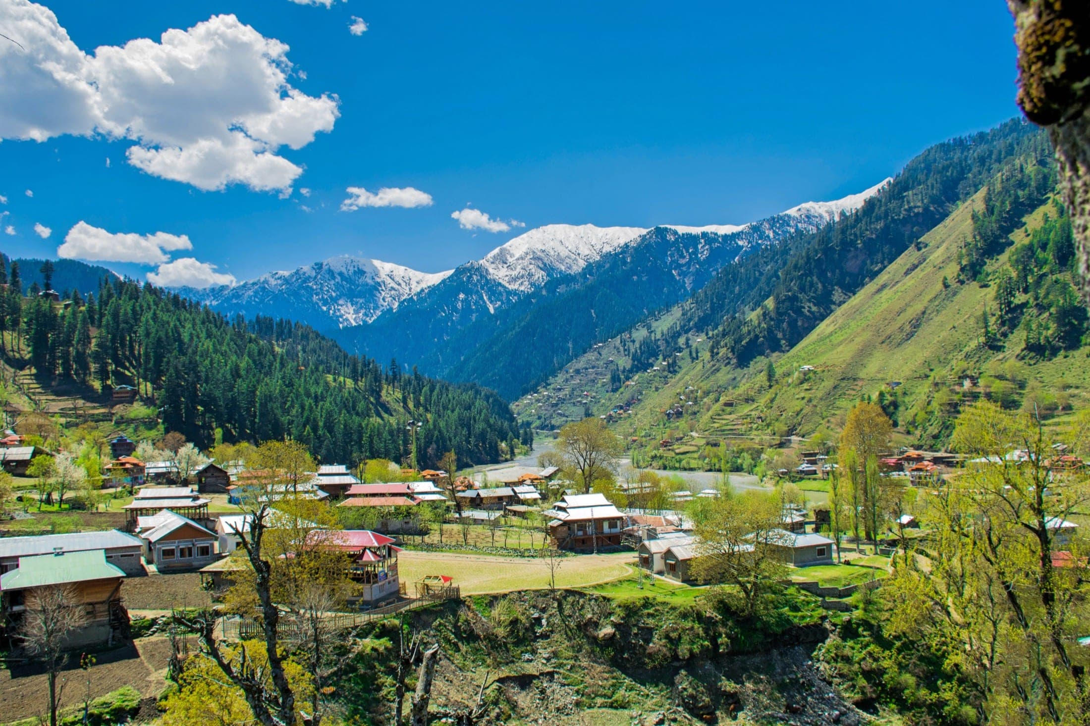
The Neelum Valley's largest town, framed by snow peaks, and home to the ancient Sharda Peeth university ruins, once one of South Asia's great centres of learning.
Sight
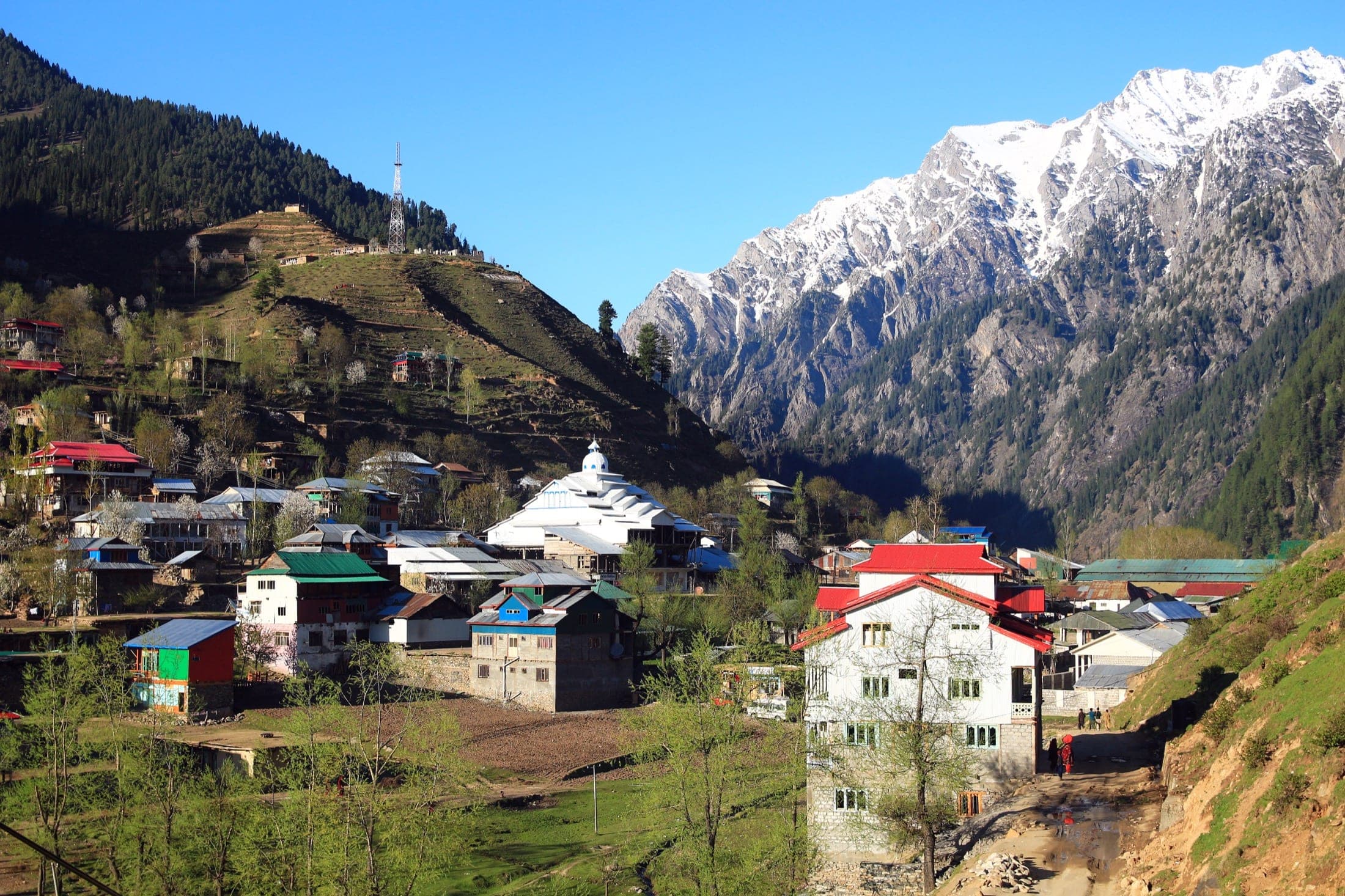
The last town in the Neelum Valley with a proper road, and the jumping-off point for Arang Kel's chairlift and the jeep track onward to Taobat.
Sight
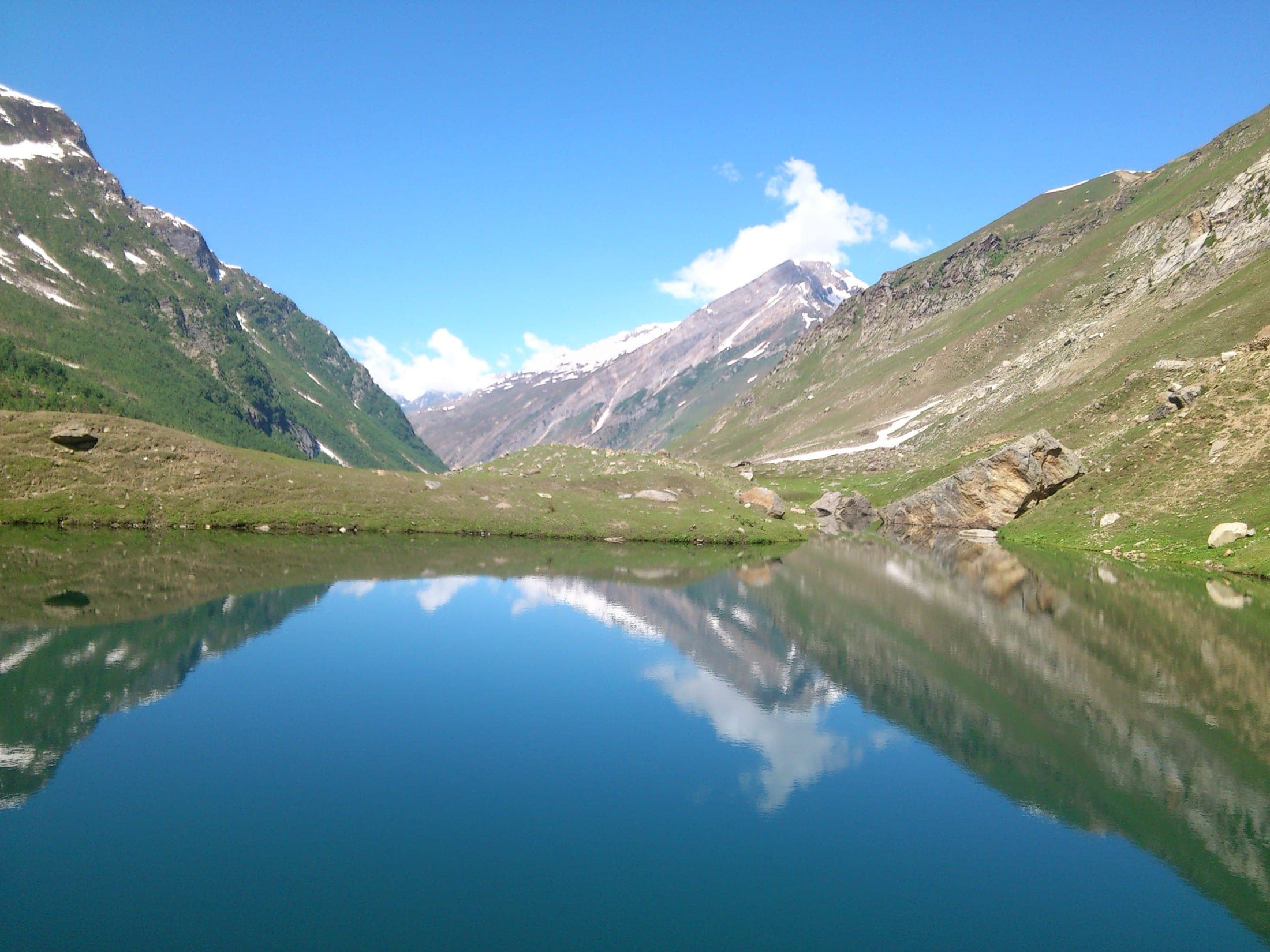
A high side valley off the Kel-Taobat road, its glassy Shounter Lake mirroring the surrounding peaks, and the trailhead for Chitta Katha Lake.
Sight
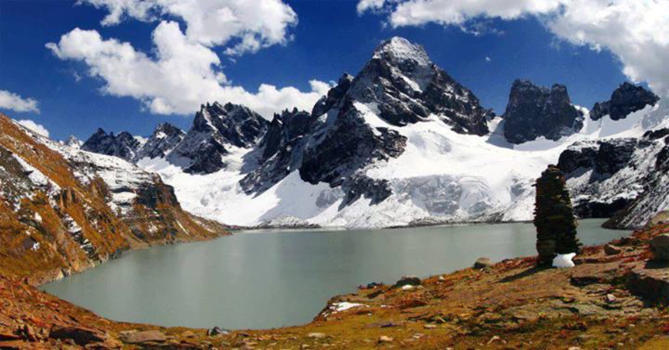
A remote, high-altitude glacial lake reached by a demanding trek above Shounter, among the least-visited and most pristine lakes in the Neelum Valley.
Sight
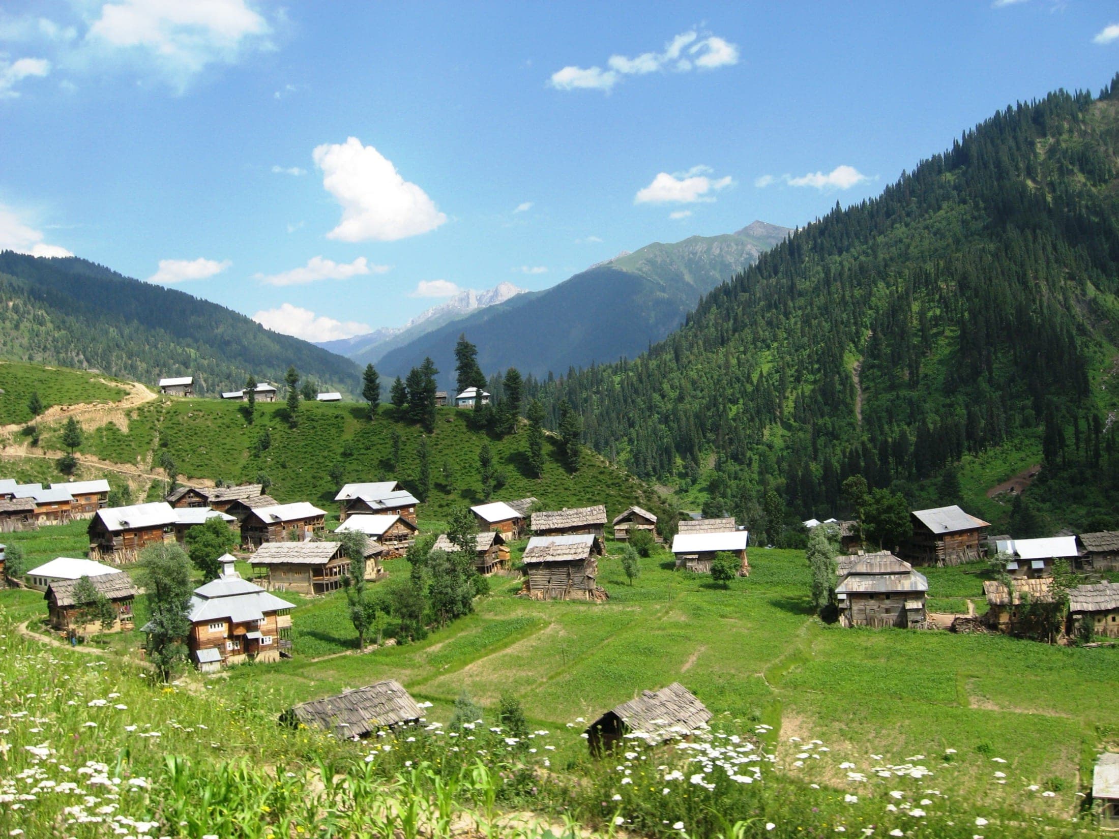
The last village of the Neelum Valley at 7,500 ft, wooden houses and meadows where the Kishenganga River enters Pakistan and becomes the Neelum.
Sight
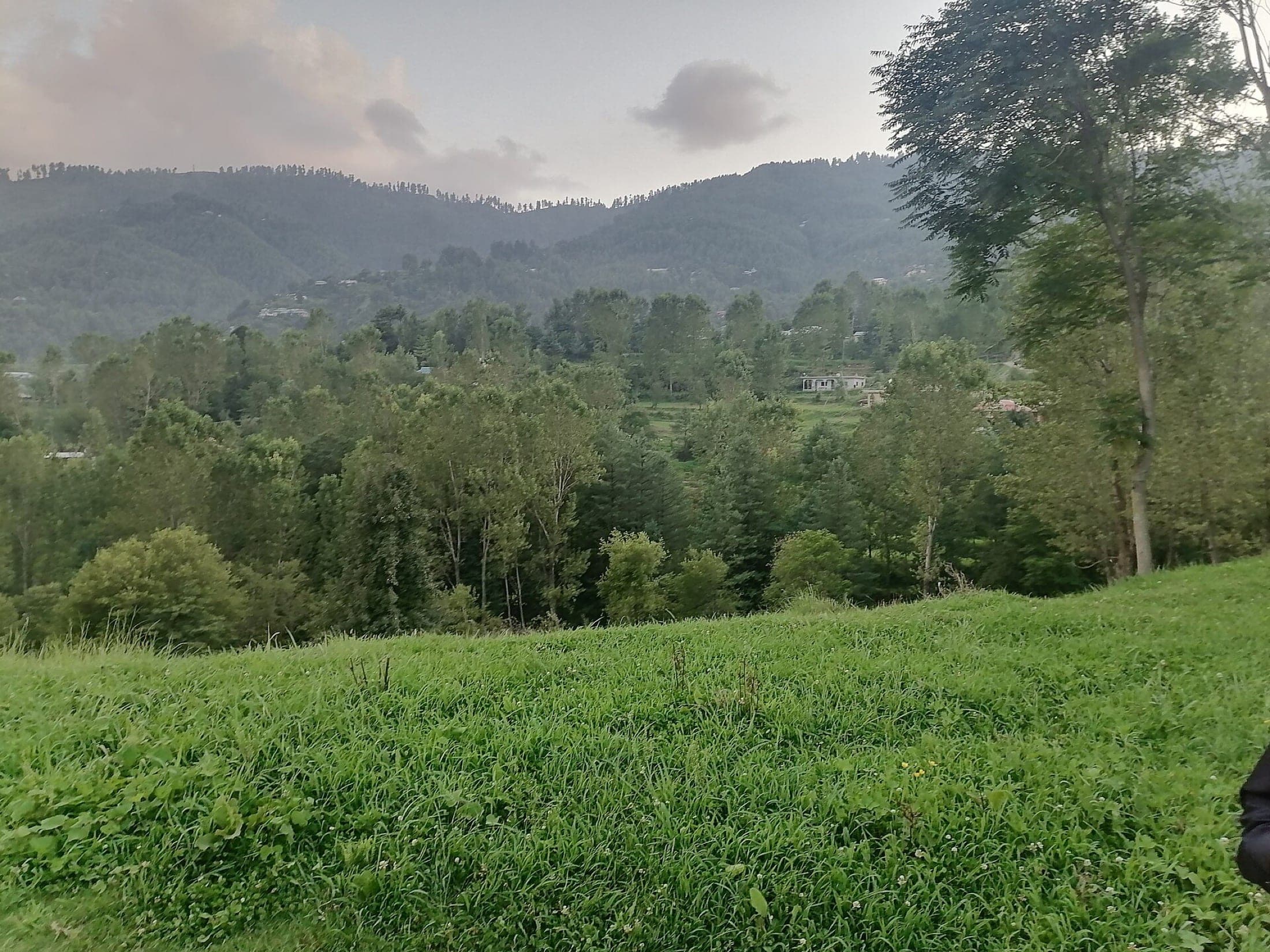
A cool hill station about 46 km from Muzaffarabad via Hattian Bala, and the access point for Zalzal Lake and the trek up to Ganga Choti.
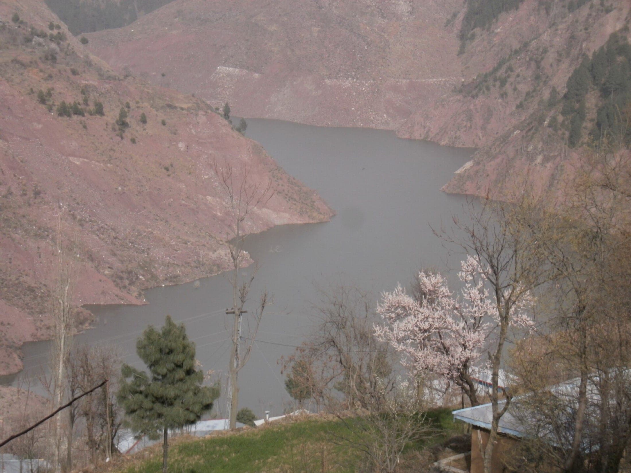
Sight
A lake near Chikar formed when the 2005 earthquake's landslides blocked a valley and buried four villages, now a quiet, sobering beauty spot.
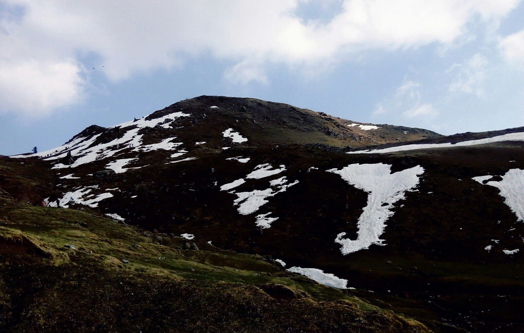
Sight
A 3,045 m peak near Chikar and Sudhan Gali, and one of Azad Jammu and Kashmir's most popular treks, snow-streaked well into summer.
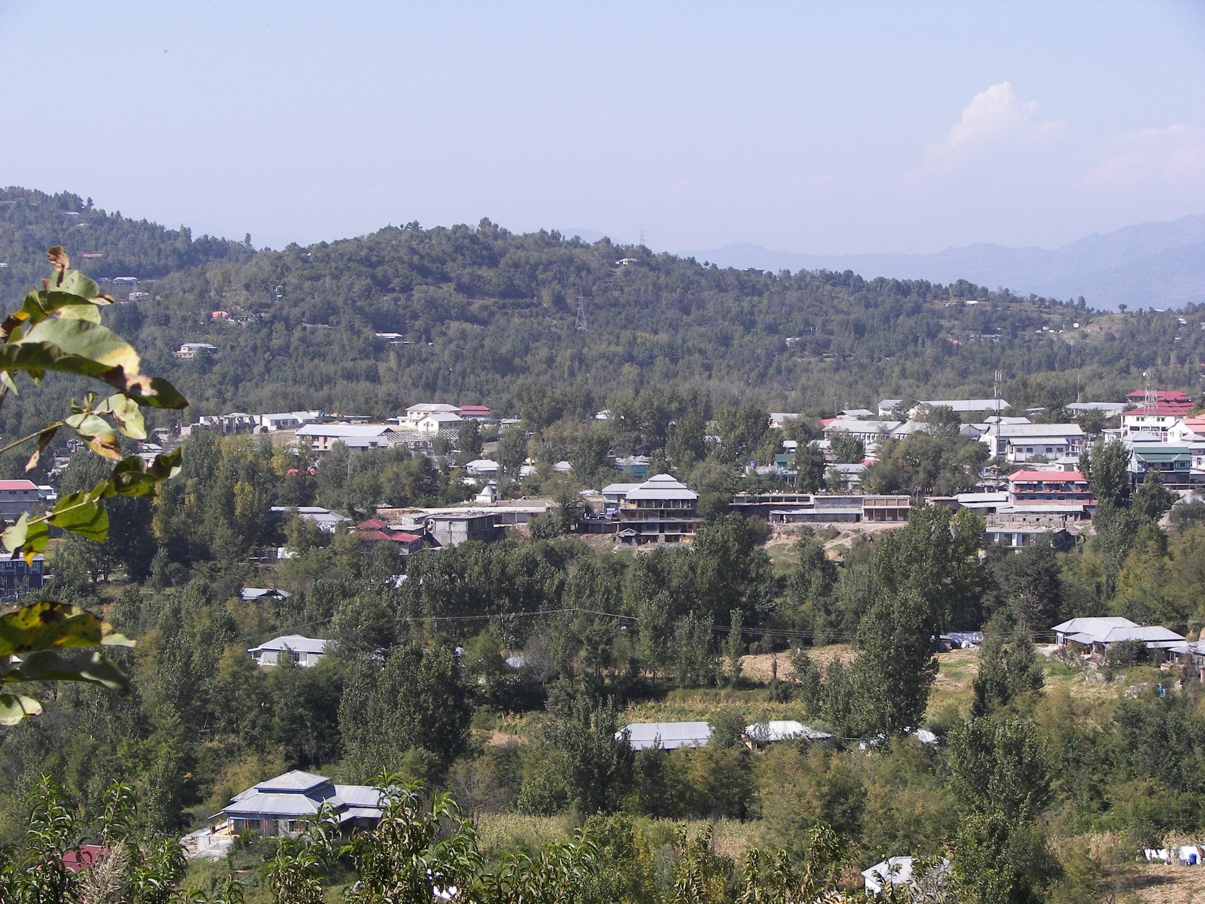
Sight
A green, bowl-shaped mountain town at about 1,615m in the heart of Poonch District, and the natural base for exploring Banjosa Lake, Toli Pir, and the wider Poonch hills.
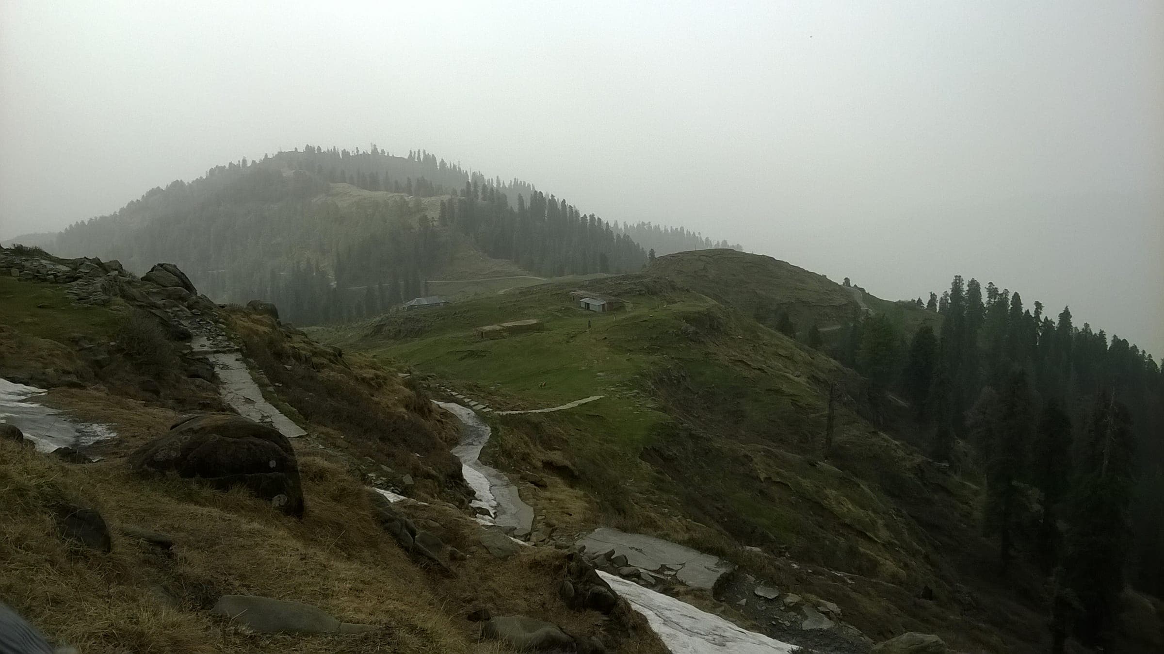
Sight
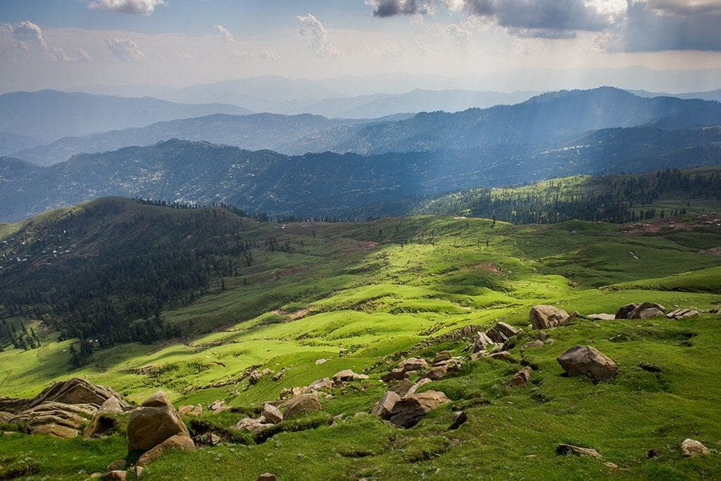
A high grassy ridge at roughly 2,743m above Rawalakot, where open meadows meet long views across the Poonch mountains toward Bagh and Abbaspur.
Sight
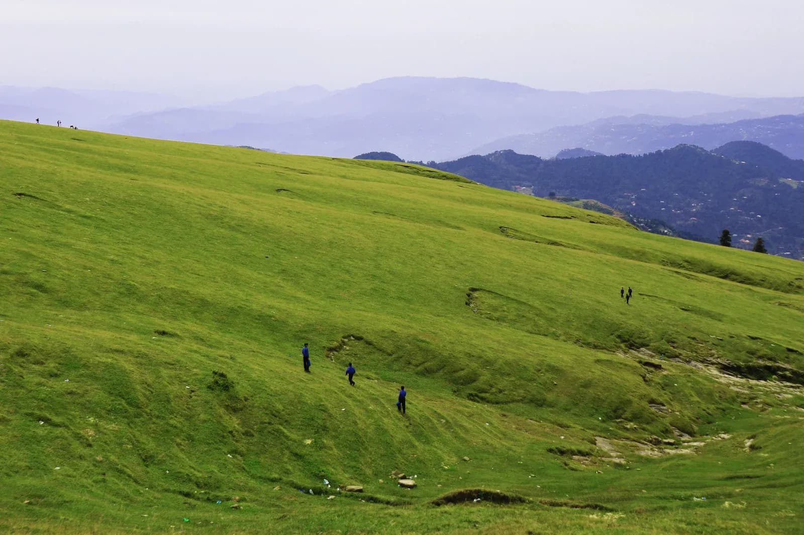
A forested mountain pass at about 2,134m between Bagh and Chikar, best known as the classic staging point for the climb to Ganga Choti.
Sight
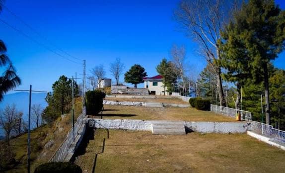
An accessible forest hill station at about 1,676m in Bagh District, roughly 24km from Kohala, where deodar and kail woodland begins only a short drive beyond the gateway.
Sight
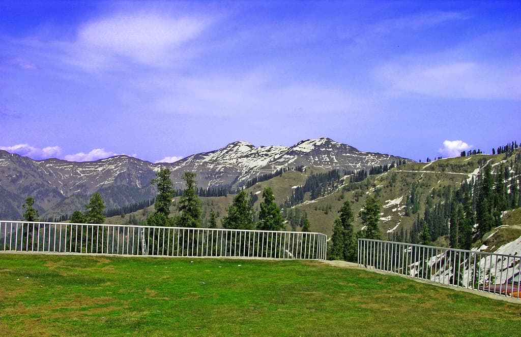
A high viewpoint around 2,000m above Dheer Kot, combining forest scenery with an important place in AJK's history as the site of a gathering held on 23 August 1947.
Sight
A high mountain escape around 15km above Bagh town, where winding roads climb into cool ridges, forests, and long views toward the Pir Panjal.
Sight
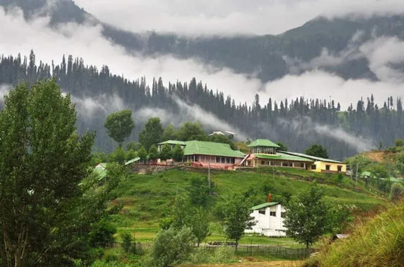
A river corridor east of Muzaffarabad where the Jhelum runs beneath steep green mountains through Garhi Dupatta, Hattian Bala, and Chinari, and the gateway toward Leepa Valley.
Sight
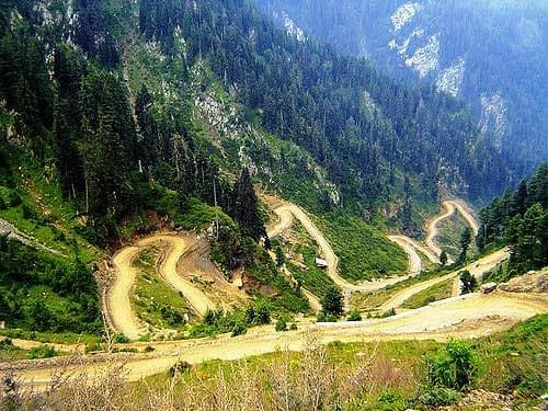
A riverside mountain settlement at about 1,674m, roughly 67km from Muzaffarabad, marking the main gateway from Jhelum Valley toward the high road into Leepa.
Sight
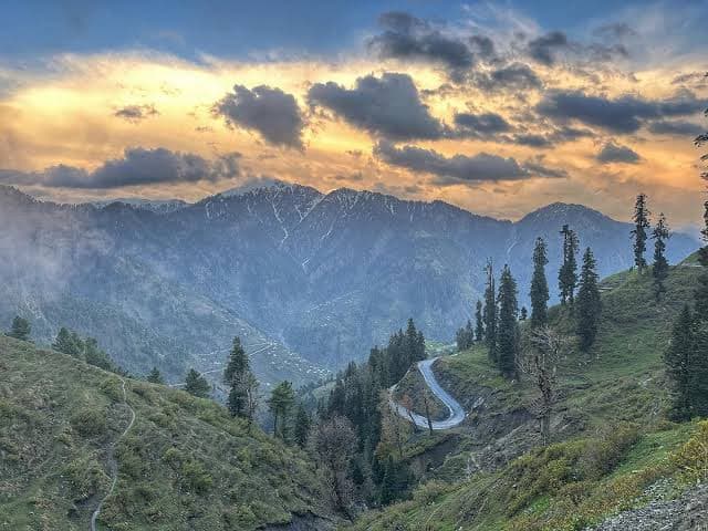
A quiet mountain retreat at roughly 2,490m about 4km above Reshian, where cool forests and open views offer a slower alternative to the main Leepa route.
Sight
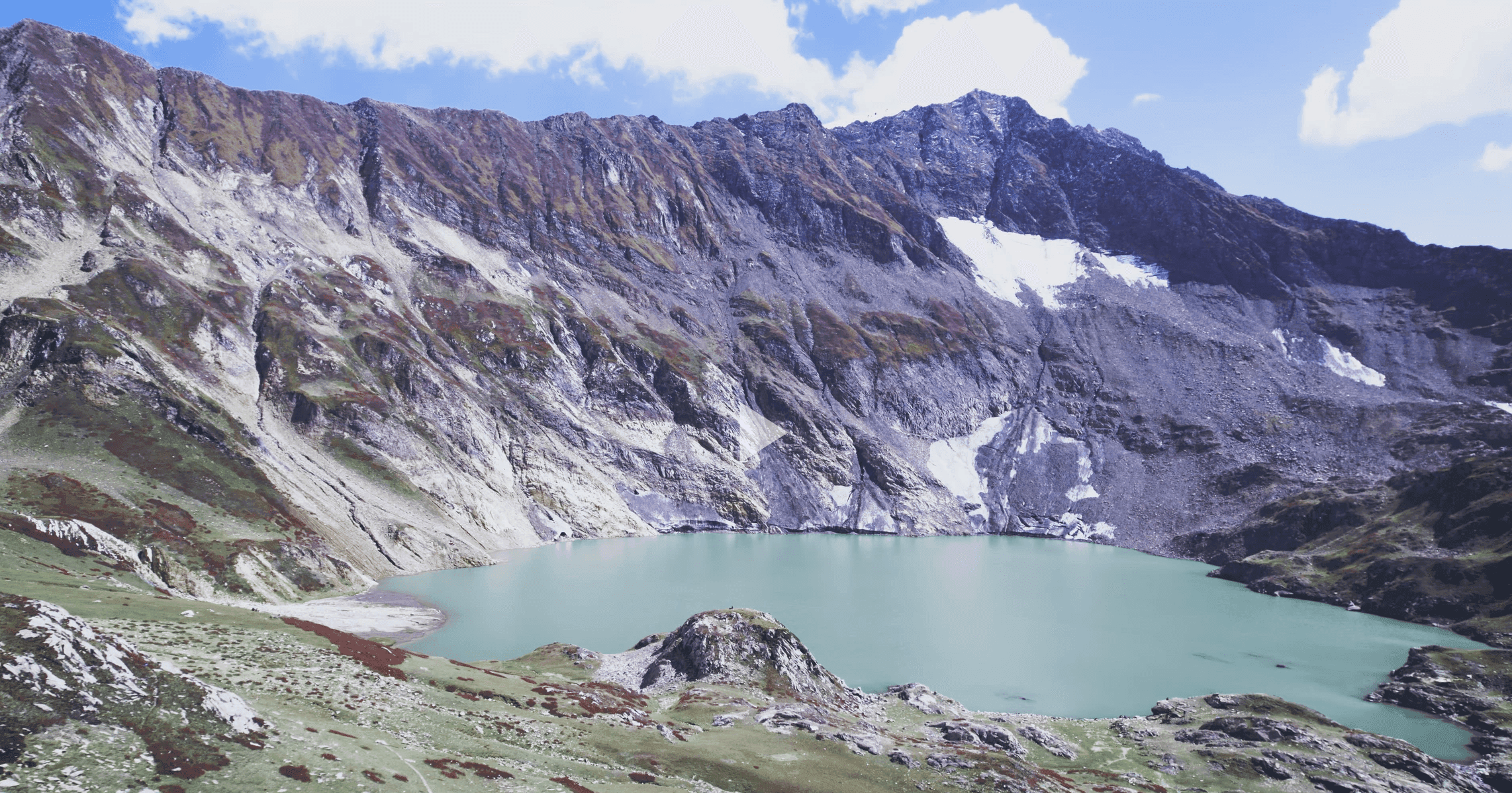
A remote alpine lake at roughly 3,950m above Neelum Valley, reached via Lawat by rough 4x4 track and a final walk through high summer pasture.
Sight
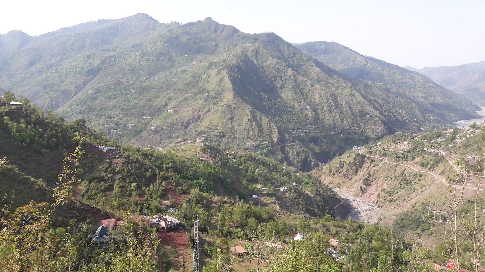
A remote Pir Panjal district centred on Forward Kahuta, where forest valleys, high meadows, and the Bedori massif create one of AJK's least-visited mountain regions.
Sight
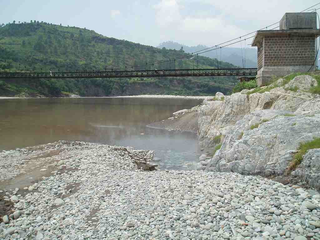
Natural sulphur-rich hot springs rising beside the Poonch River about 26km from Kotli, where naturally heated water meets the river's cold flow.
Sight
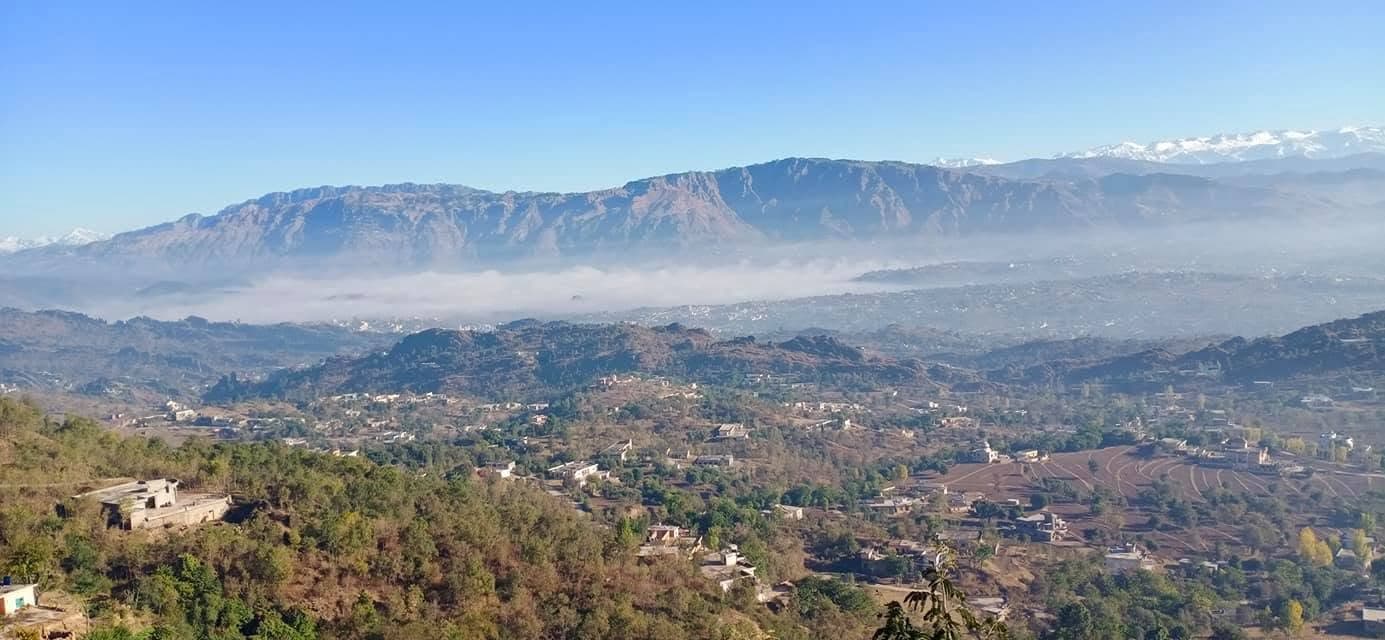
A green valley landscape in eastern Kotli District where springs, wooded hills, and village roads lead into Banah Valley, with documented rock-cut caves nearby.
Sight
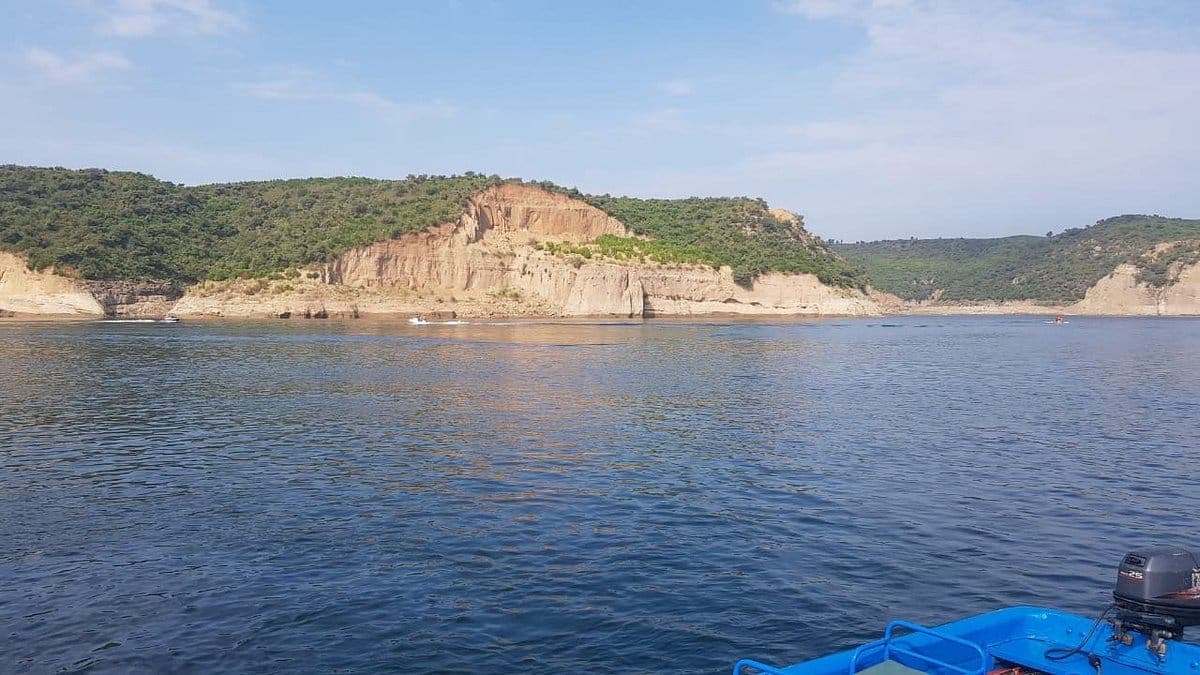
A vast reservoir beside Mirpur, formed by the damming of the Jhelum, offering open water, boating, and sunset views alongside the historic Ramkot Fort.
Sight
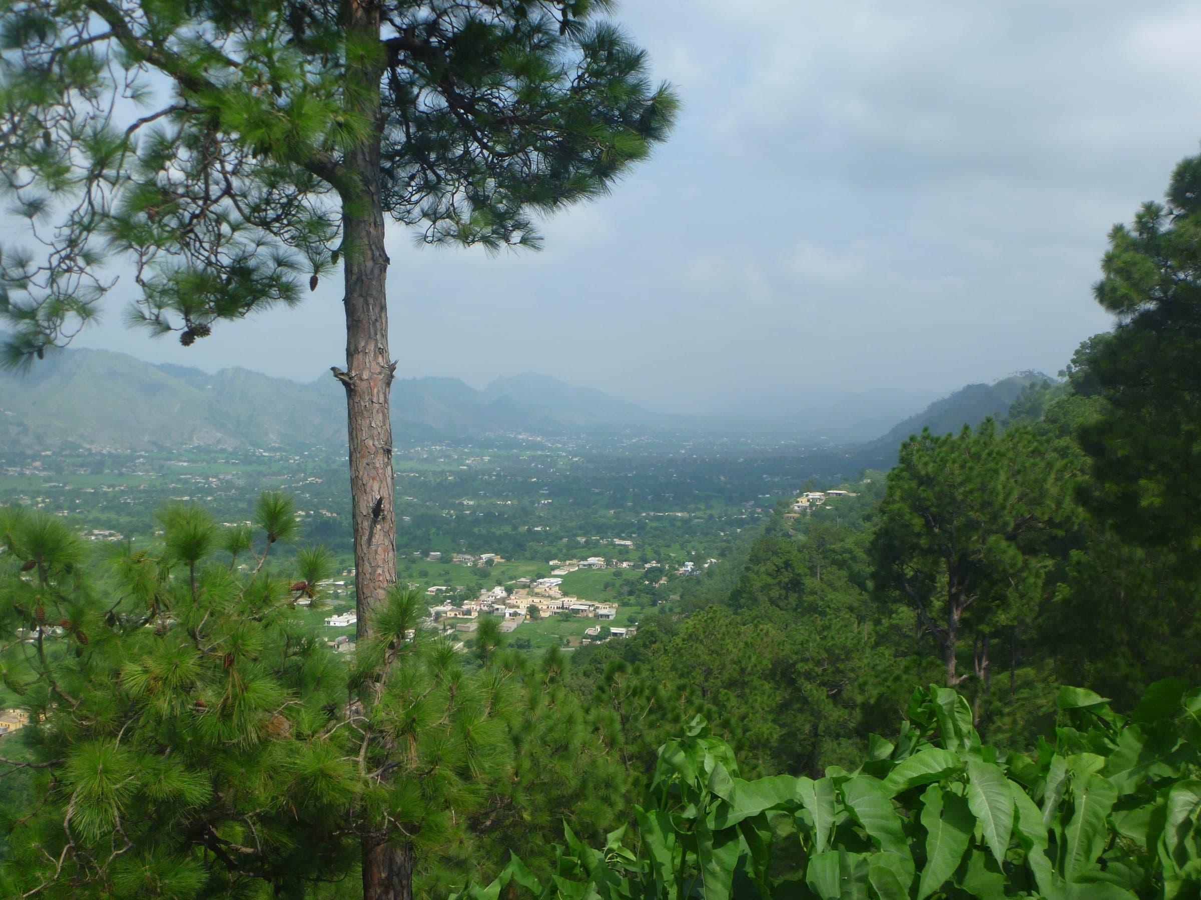
A broad green valley about 17km north of Bhimber where wooded hills, seasonal waterfalls, and clear streams create one of southern AJK's most overlooked landscapes.
Sight
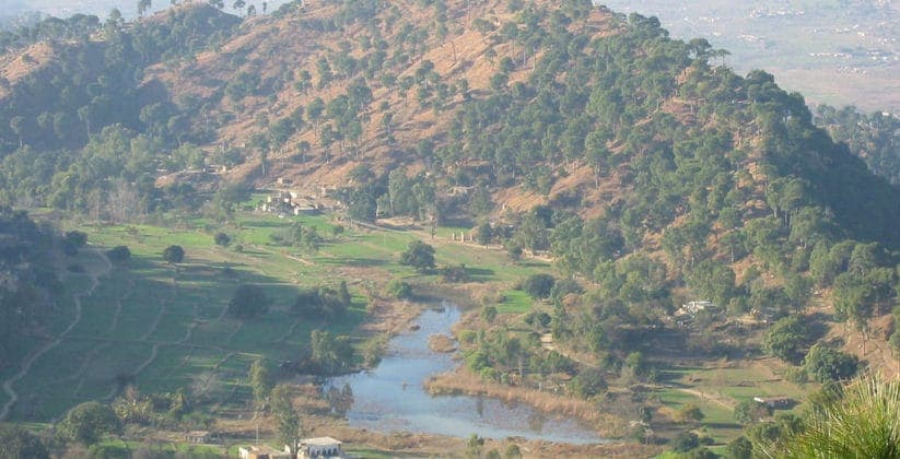
A small mountain lake at about 975m in Samahni Valley, watched over by a historic stone fort linked to Afghan, Sikh, and Dogra rule, and local tradition of Emperor Jahangir's final journey.
Bookable journeys
Dedicated journeys in this category are being prepared. Until then, request a private itinerary that combines stays, transport, guiding, and the places listed above.
Request a private itineraryReady to wander?
Connect with our travel team to combine the stays, transport, and coastal sights of Pakistan into a private, tailor-made trip.