
Loading…
Area guides / Gilgit Division / Hunza Valley
Area guide
Gilgit Division
Hunza District · Gilgit-Baltistan, Pakistan
Orchards, Attabad Lake, and the Karakoram Highway
Region
Gilgit-Baltistan
Give It
3-4 days
Altitude
~2,500m
Best Time
Apr-Oct
Overview
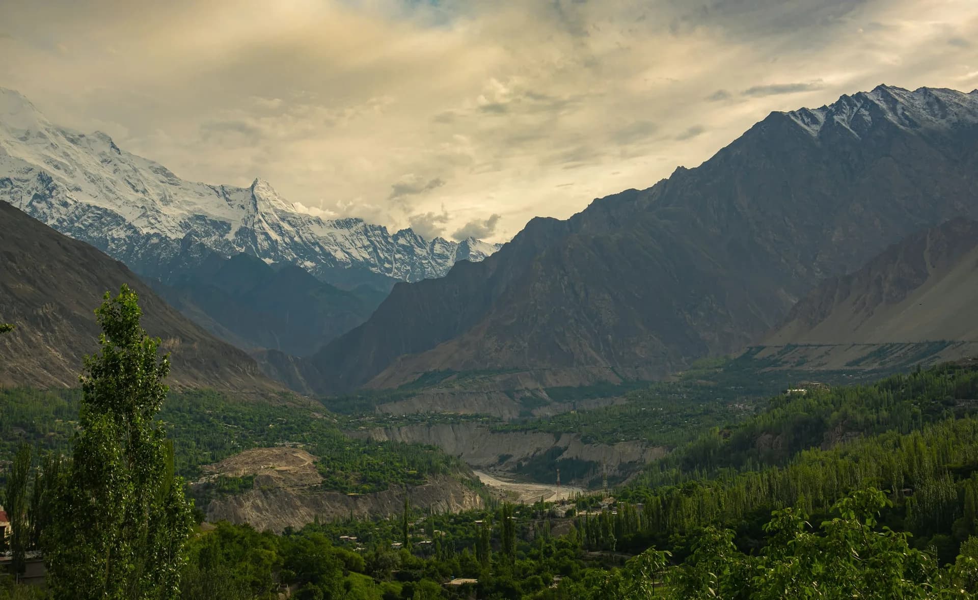
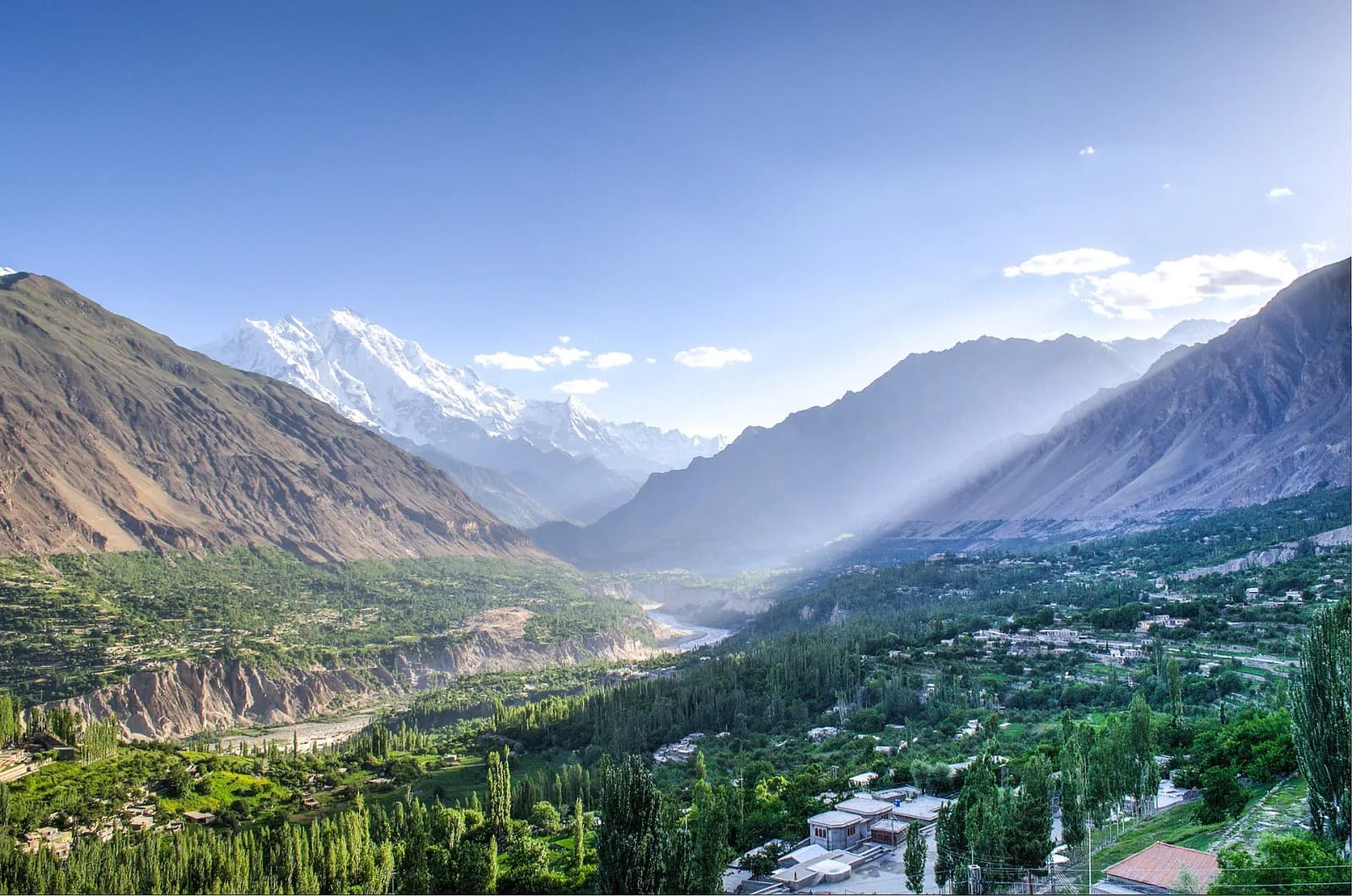
Strung along the Hunza River beneath Rakaposhi and Ultar Sar, Hunza is the most beloved destination in the Pakistani north. Karimabad, the main town, climbs the hillside below the restored Baltit Fort; across the valley, Altit Fort guards the oldest settlement.
Give it three or four days, for the forts, the Eagle's Nest sunrise, the boat across Attabad Lake, and a day trip up toward Passu and the Khunjerab Pass.
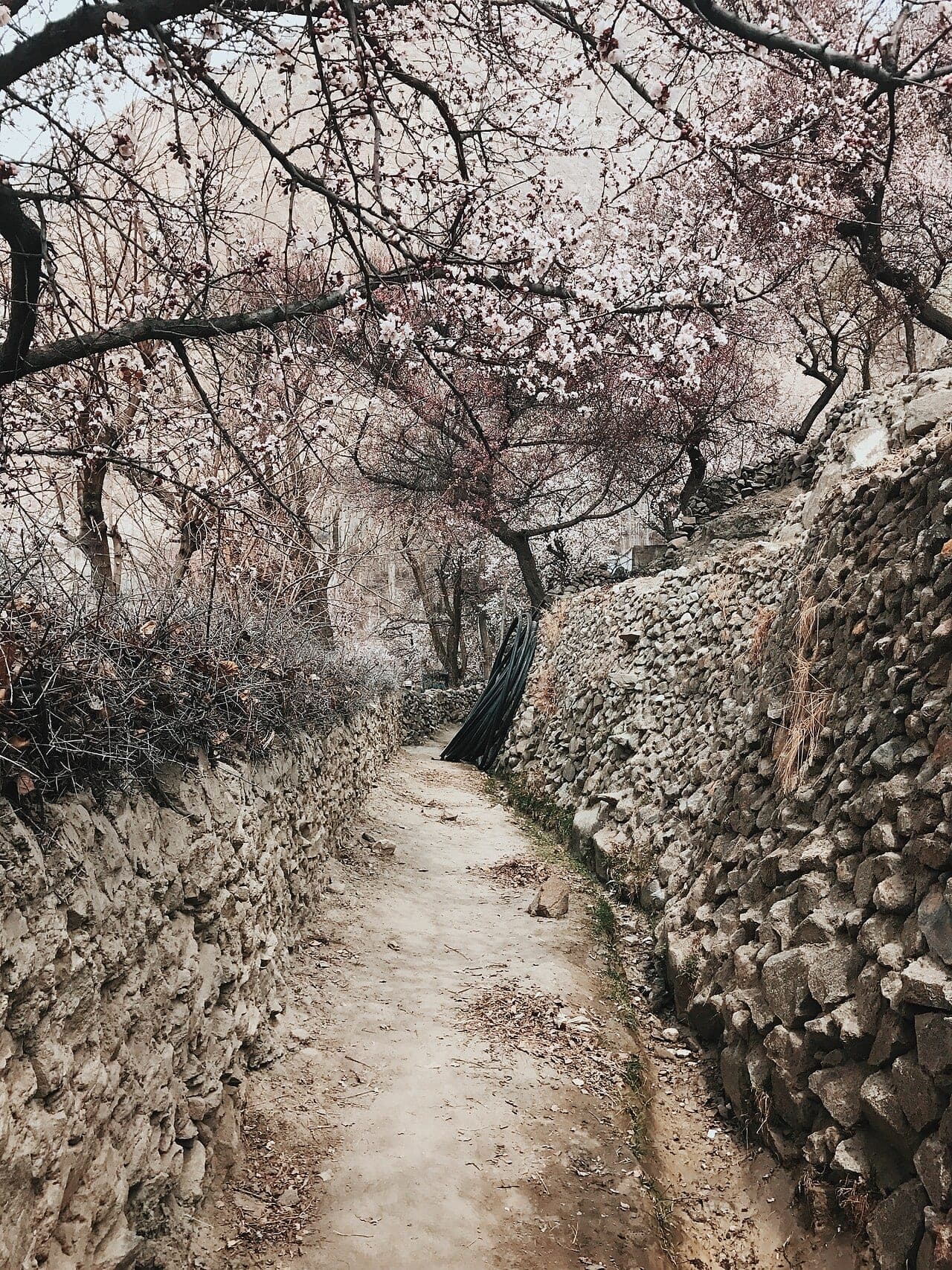
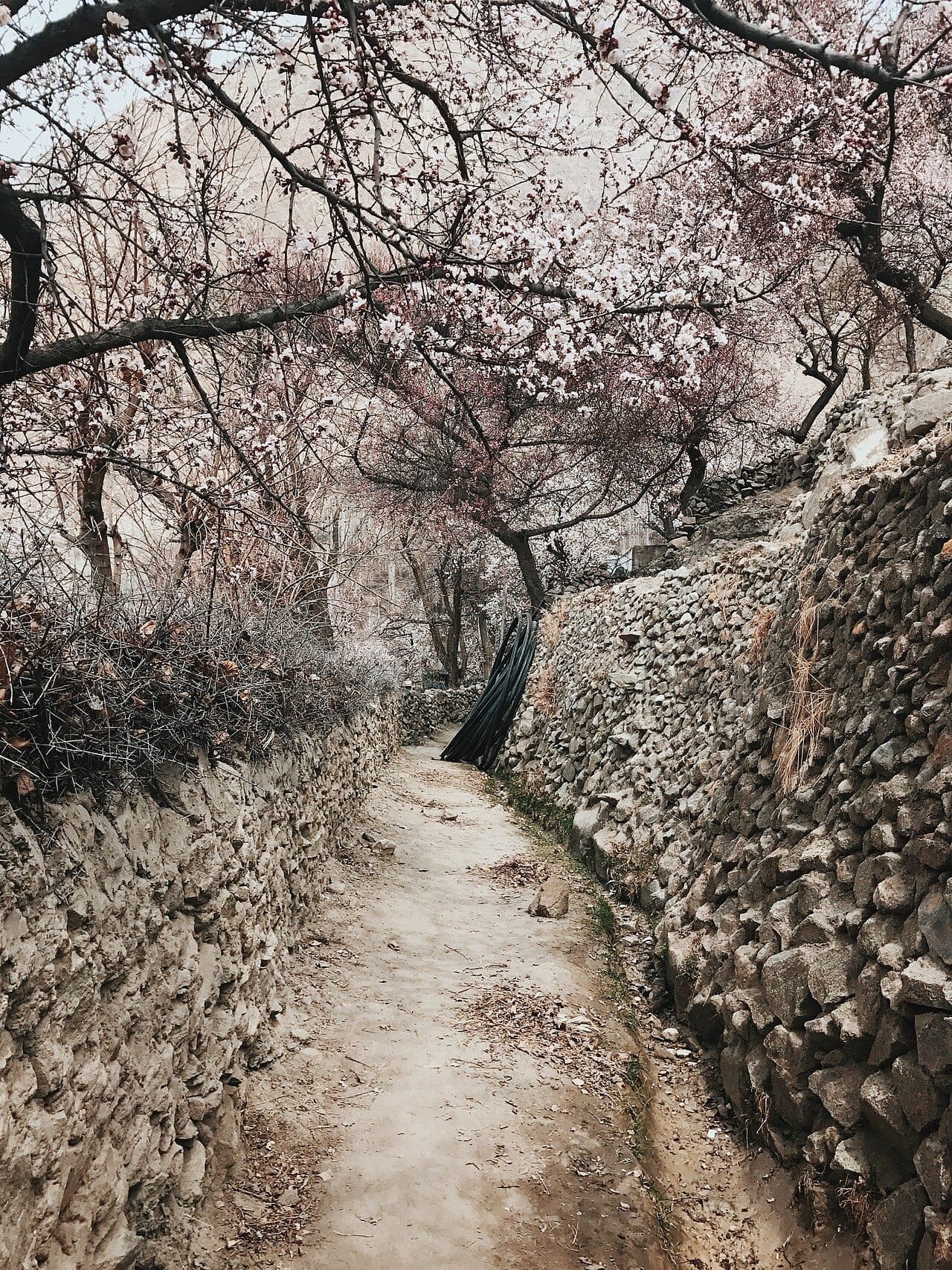
Apricot and cherry orchards turn pink and white in March-April, local blossom events vary by village altitude; confirm peak weeks before booking.
Continue the KKH to Passu, Gulmit, and Khunjerab Pass on a clear-weather window, altitude and snow close the road outside summer.
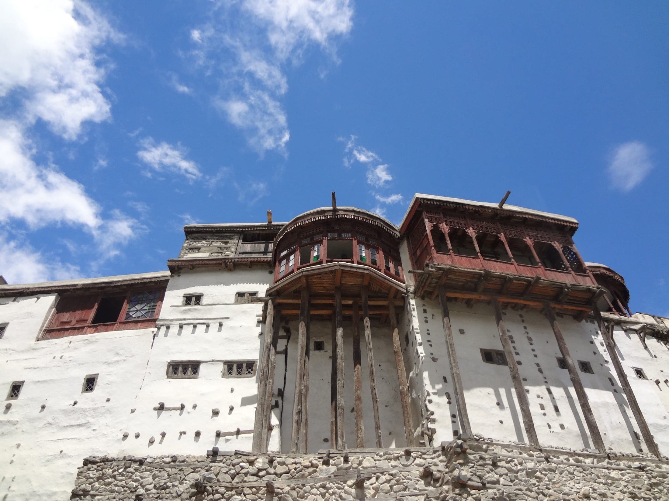
A 700-year-old fort above Karimabad, beautifully restored.
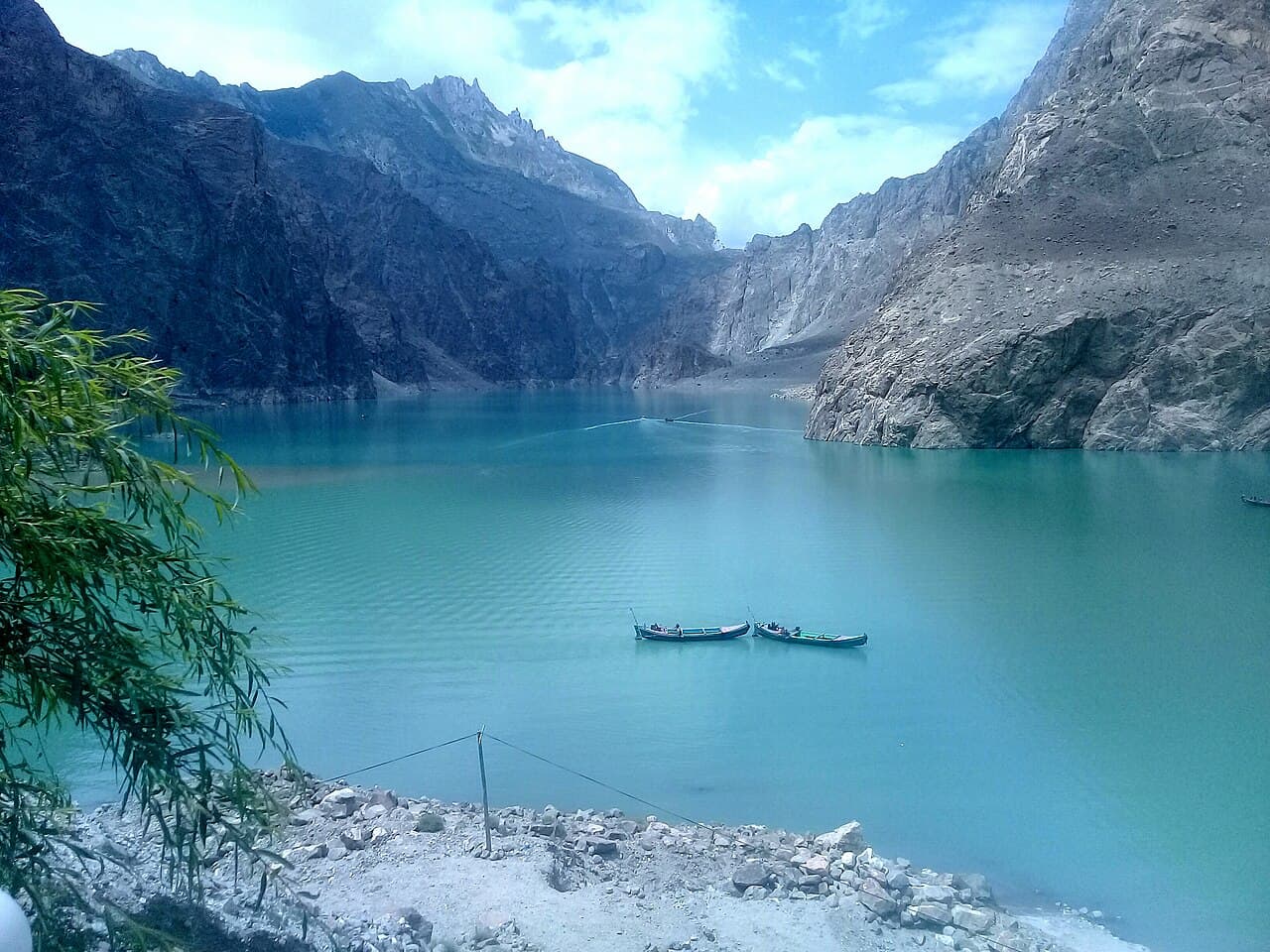
Turquoise water born of a landslide, best by boat.
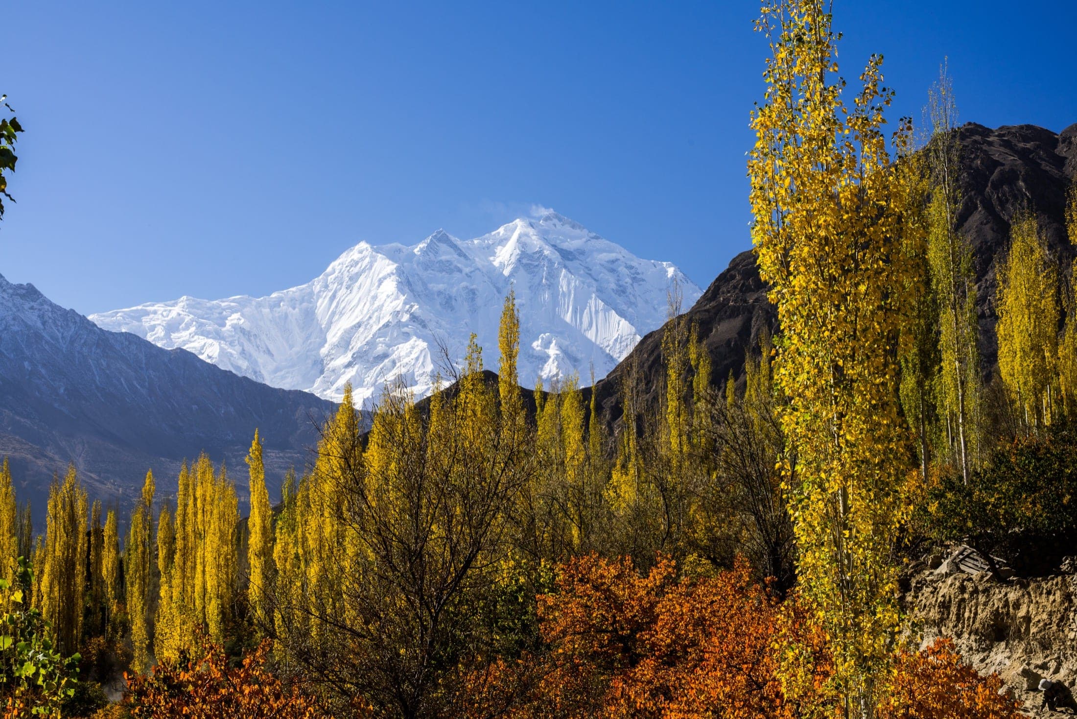
The valley's classic sunrise viewpoint over Rakaposhi.
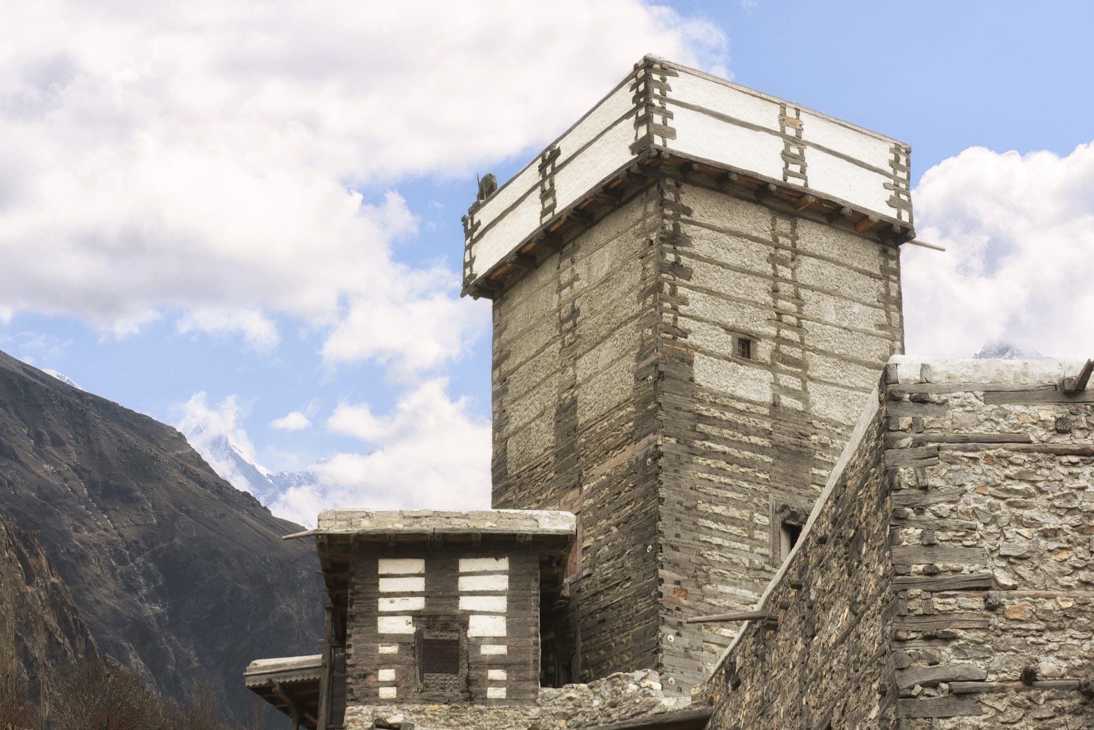
The oldest settlement in Hunza and its royal garden.
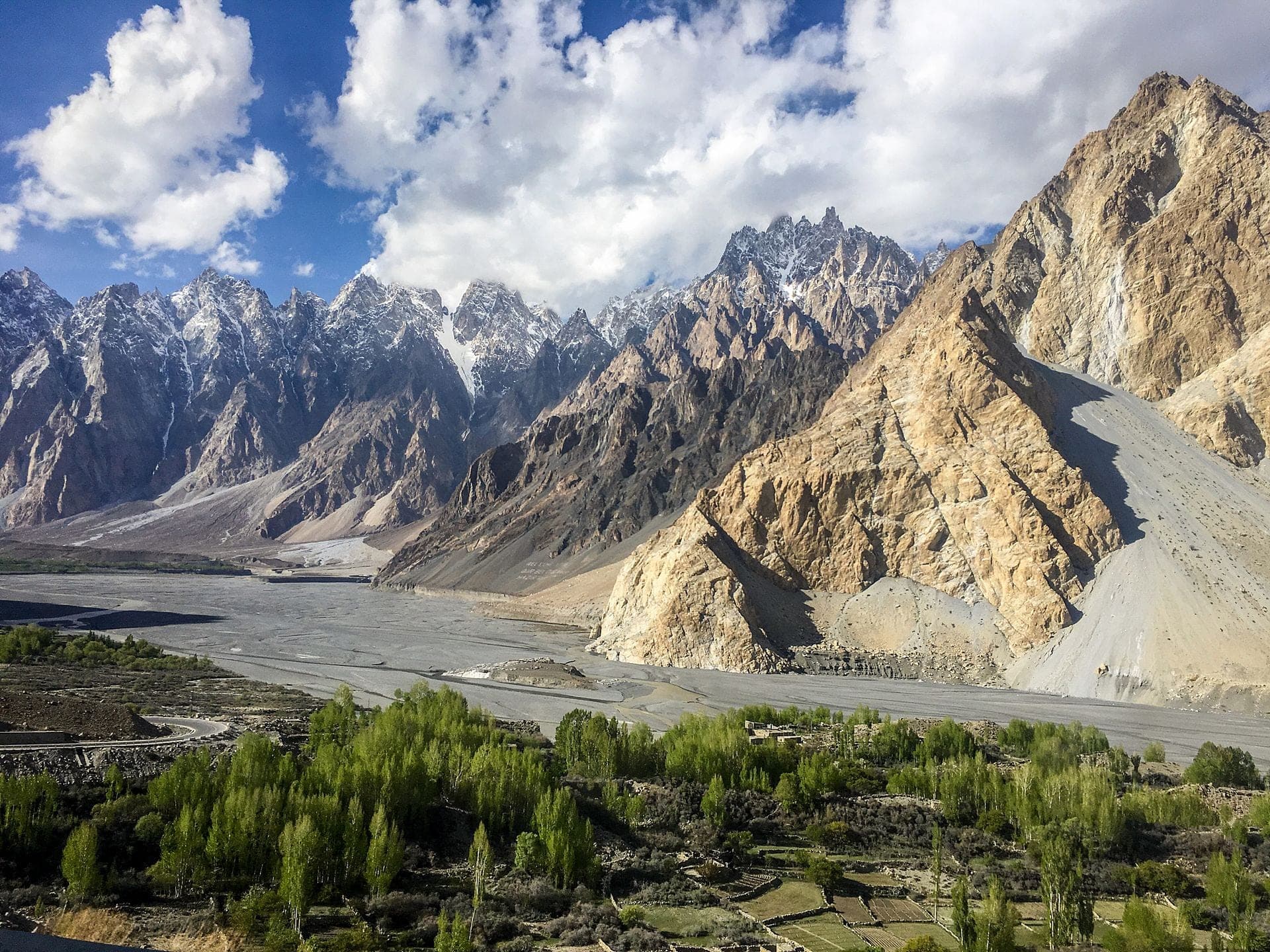
The jagged 'cathedral' peaks up the Karakoram Highway.
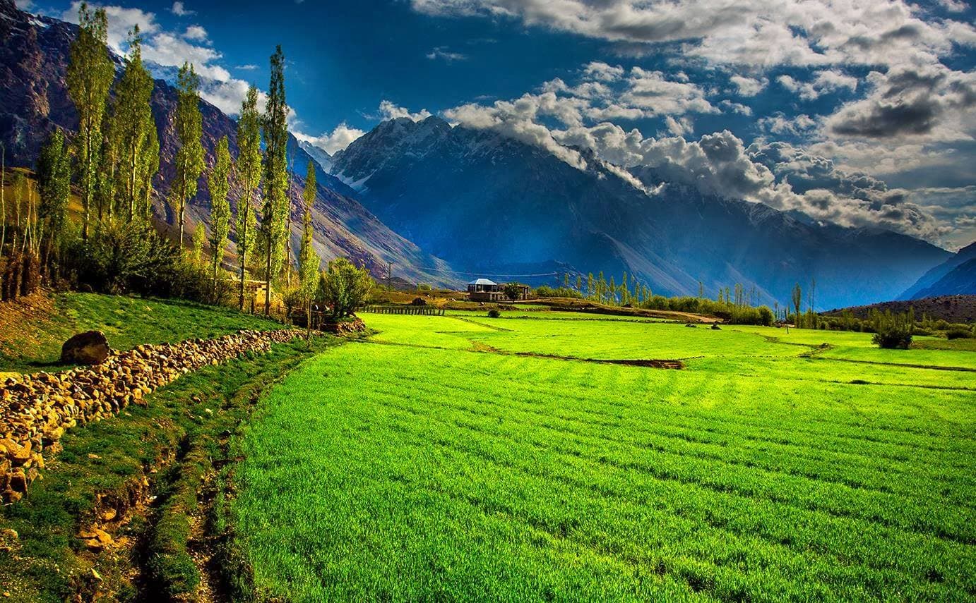
A short drive to a dramatic, accessible glacier snout.
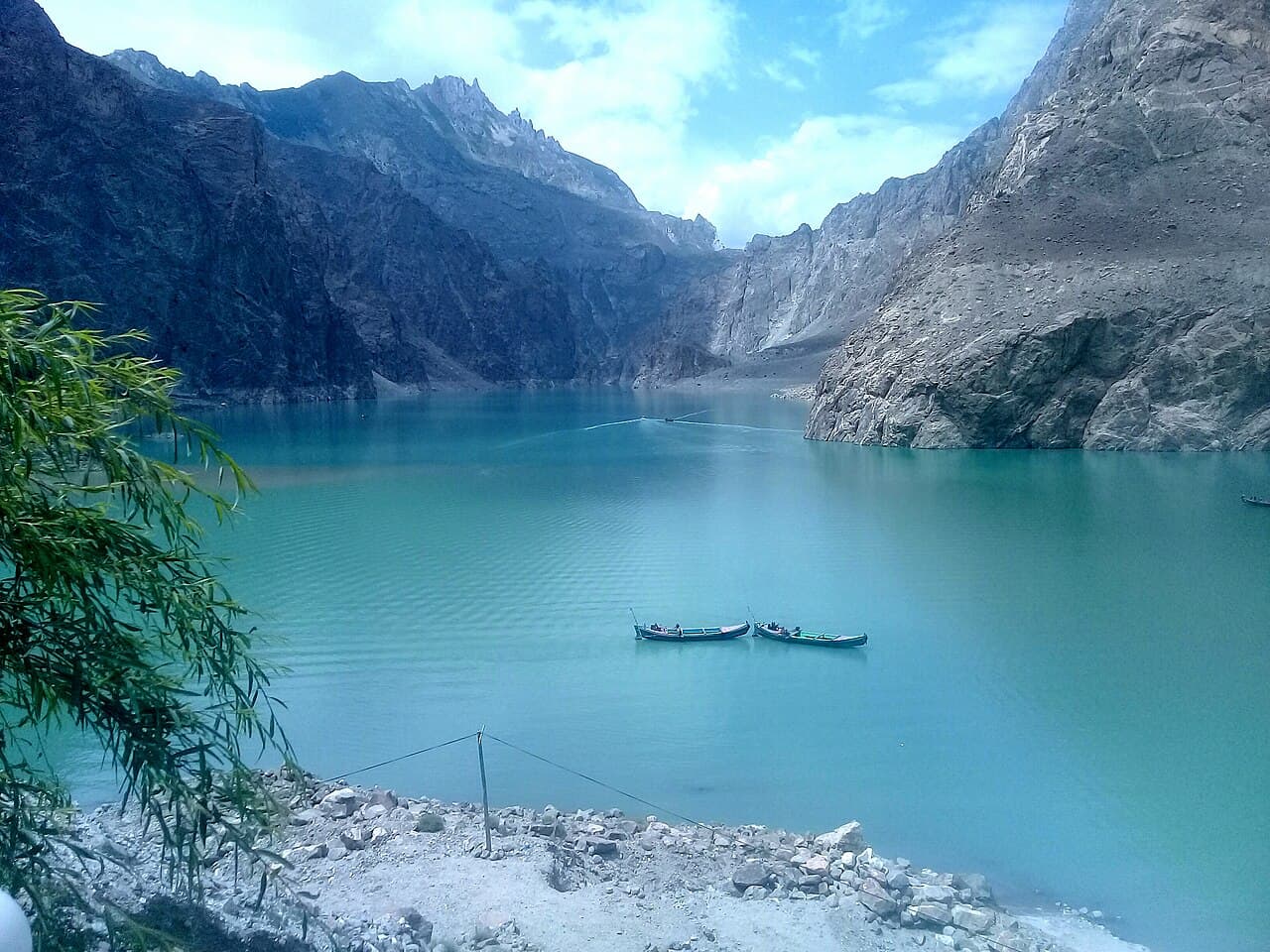
Attabad Lake is the startling turquoise centrepiece of upper Hunza, a body of water that did not exist before January 2010, when a massive landslide buried the village of Attabad, dammed the Hunza River, and drowned a stretch of the Karakoram Highway along with several villages. From that disaster emerged one of the region's most photographed sights: a 20 km ribbon of intense blue-green water hemmed by sheer brown cliffs, now lined with boat jetties, cafés, and resorts. It stands as a vivid reminder that in the Karakoram the landscape is still being violently rewritten.
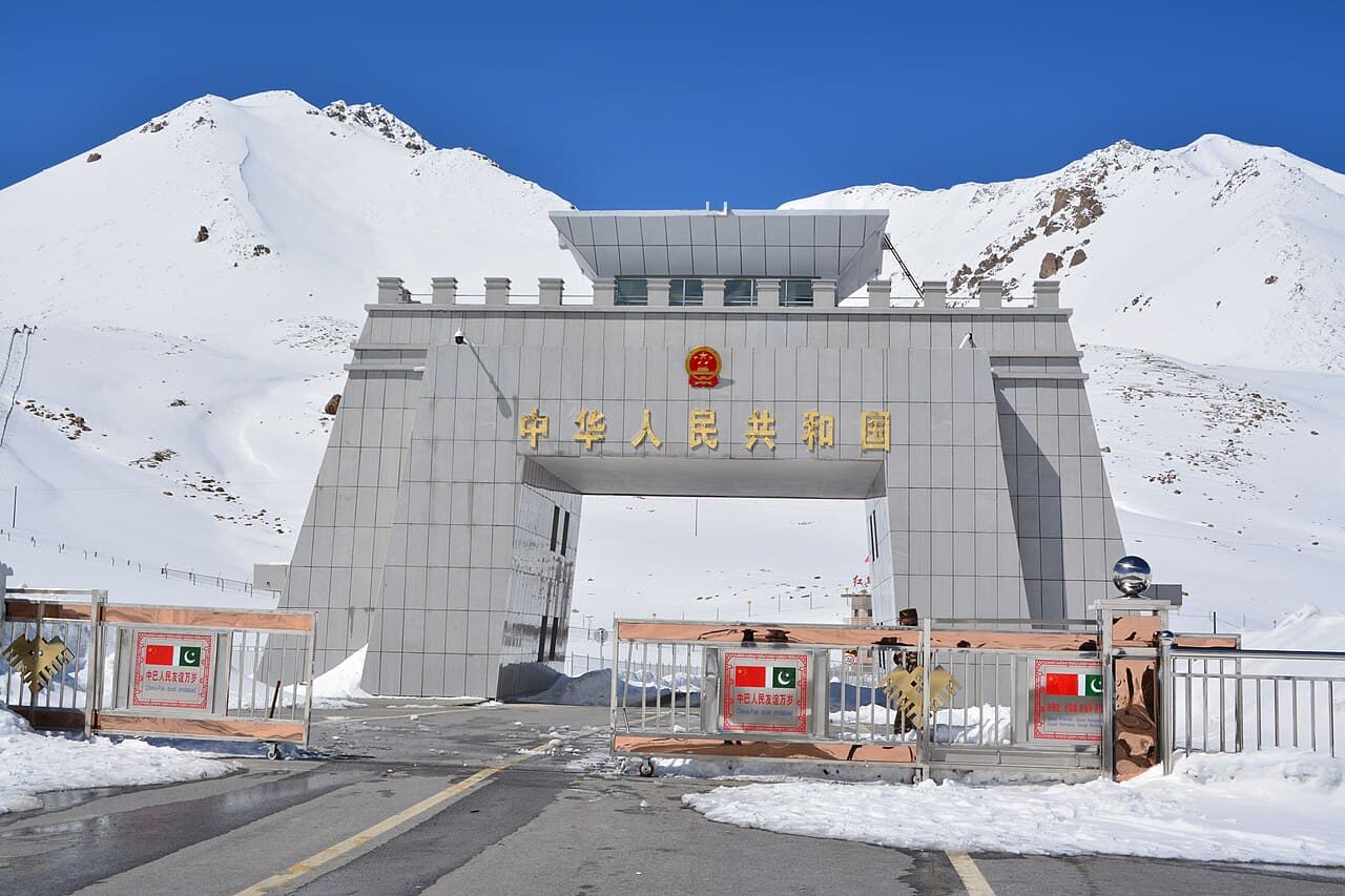
The Khunjerab Pass is the highest paved international border crossing in the world, 4,693 m on the crest of the Karakoram, where the Karakoram Highway leaves Pakistan and enters China's Xinjiang. The name means 'Valley of Blood' in Wakhi, a reference to old bandit raids on the caravans that once crossed here, but today the pass is a place of pilgrimage for road-trippers: a stark, wind-scoured saddle marked by border gates, a stone arch, and grazing yaks, with the Pamir and Karakoram rolling away on both sides. It lies within Khunjerab National Park, prime habitat for Marco Polo sheep, snow leopard, ibex, and blue sheep.
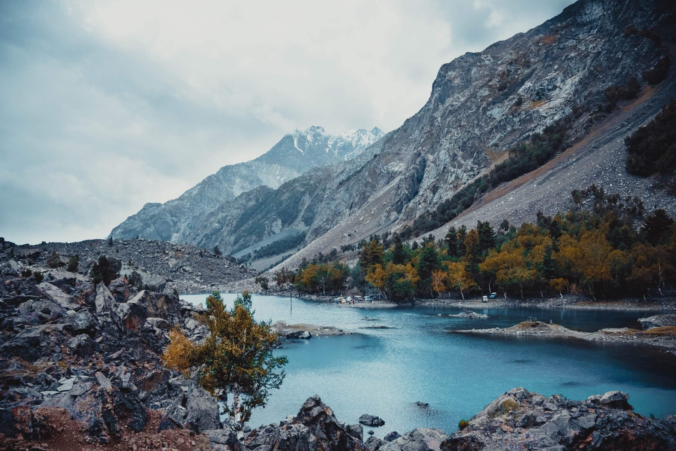
The Karakoram Highway by road — Attabad's turquoise water up to the Khunjerab border.
Two of the great valleys in one journey — Hunza's orchards and Skardu's lakes.
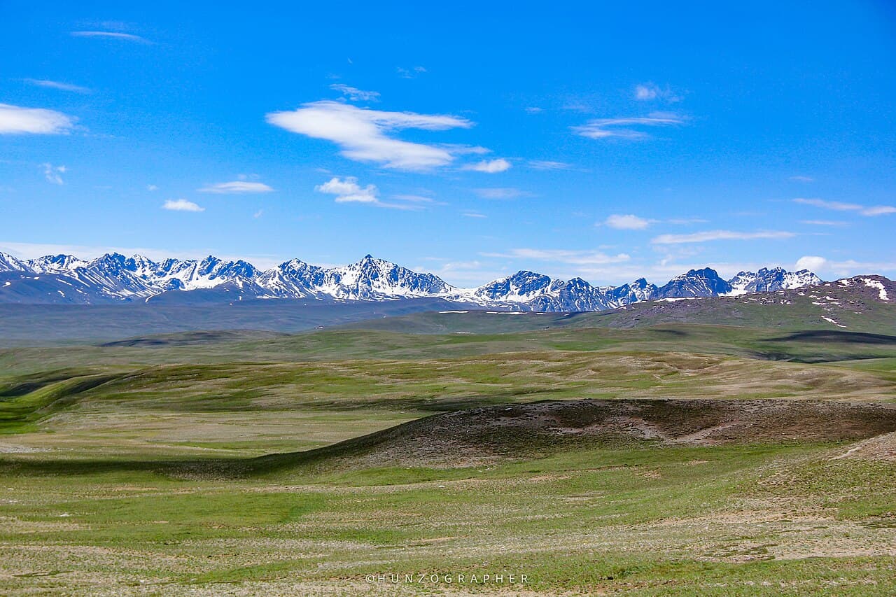
An unhurried retreat across the two valleys, with time to simply be there.
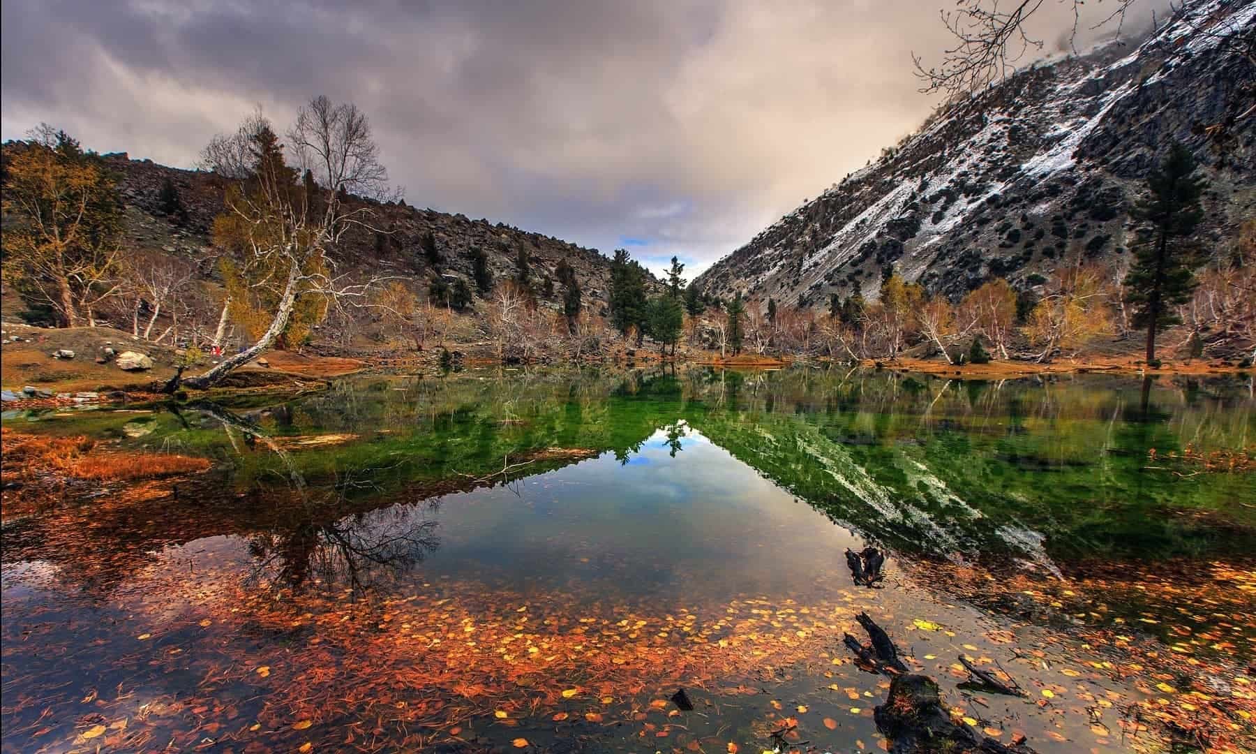
The full northern arc — the Deosai plains, Shigar, Hunza, and the high pass.